Oahu Flyover
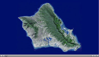
Click on the image for the FlyoverNeed a vacation? Well, paradise is as close as a mouse click away, thanks to a new fly-around tour of the island of Oahu, Hawaii, courtesy of the Advanced Spaceborne Thermal Emission and Reflection Radiometer (ASTER) instrument on NASA's Terra spacecraft.
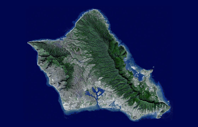
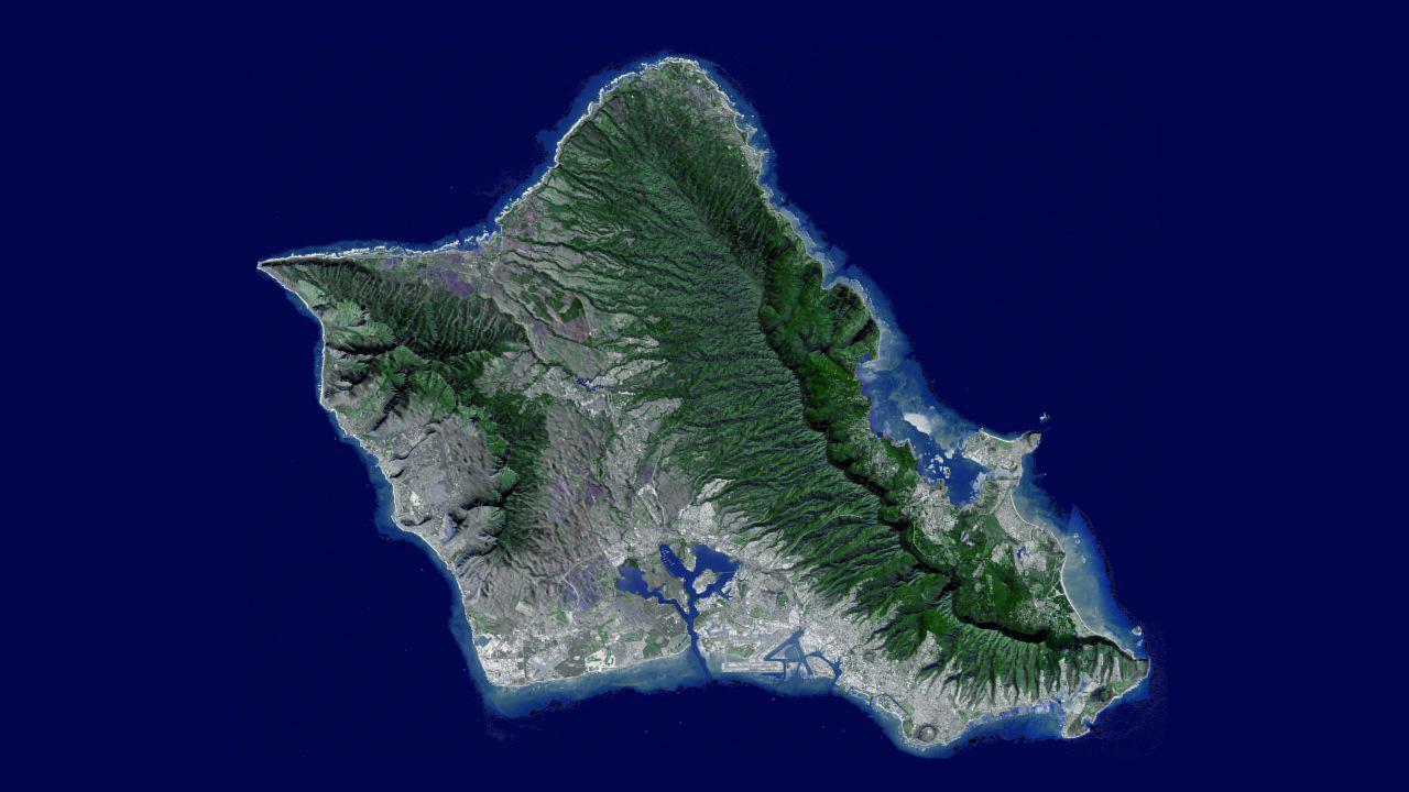
Sometimes called "The Gathering Place," Oahu is the third largest of the Hawaiian Islands, and has nearly a million residents-about 75 percent of the state's population. It is home to The Aloha State's capital city, Honolulu. Oahu was created from two separate shield volcanoes (Wai'anae and Ko'olau), that are connected by a central valley, the O'ahu Plain.
Your tour begins over Honolulu, then moves northwest over the central valley, looking towards the northeast and the Ko'olau mountains. The valley was once largely agricultural, producing pineapple and sugar cane. Reaching the north shore, site of world-famous surfing locations like the Bonzai Pipeline, we turn to the southeast and view the Windward and East Sides of Oahu. Here you'll find Kane'ohe and Kailua Bays and numerous small offshore islands. Reaching the southeast tip of Oahu, we fly over Hanauma Bay, a protected snorkeling and diving location, and continue past Diamond Head crater, Waikiki Beach and Honolulu. We bid you aloha and mahalo with a flyover of Pearl Harbor, home to the largest U.S. Navy fleet in the Pacific.
This flyover was created by draping ASTER image data acquired January 13, 2010, over the new ASTER Version 2 digital elevation data created from ASTER stereo images.
With its 14 spectral bands from the visible to the thermal infrared wavelength region and its high spatial resolution of 15 to 90 meters (about 50 to 300 feet), ASTER images Earth to map and monitor the changing surface of our planet. ASTER is one of five Earth-observing instruments launched Dec. 18, 1999, on Terra. The instrument was built by Japan's Ministry of Economy, Trade and Industry. A joint U.S./Japan science team is responsible for validation and calibration of the instrument and data products.
The broad spectral coverage and high spectral resolution of ASTER provides scientists in numerous disciplines with critical information for surface mapping and monitoring of dynamic conditions and temporal change. Example applications are: monitoring glacial advances and retreats; monitoring potentially active volcanoes; identifying crop stress; determining cloud morphology and physical properties; wetlands evaluation; thermal pollution monitoring; coral reef degradation; surface temperature mapping of soils and geology; and measuring surface heat balance.
The U.S. science team is located at NASA's Jet Propulsion Laboratory, Pasadena, Calif. The Terra mission is part of NASA's Science Mission Directorate, Washington, D.C.
More information about ASTER is available at http://asterweb.jpl.nasa.gov/.
 Planetary Data System


