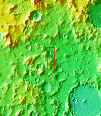
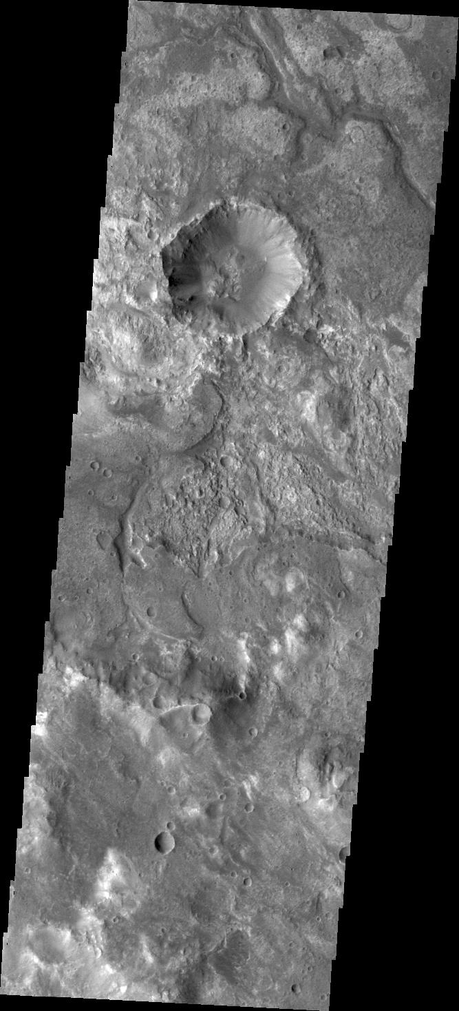
Context imageIt is sometimes difficult to figure out the history of the surface of Mars as seen in visible wavelength images. Today's VIS image is located on the northern margin of Hellas Basin and hints at a layered surface. However, the differences in image tone could be due to other factors of the surface geology.
Orbit Number: 41618 Latitude: -23.3073 Longitude: 70.4754 Instrument: VIS Captured: 2011-05-03 02:21
Please see the THEMIS Data Citation Note for details on crediting THEMIS images.
NASA's Jet Propulsion Laboratory manages the 2001 Mars Odyssey mission for NASA's Science Mission Directorate, Washington, D.C. The Thermal Emission Imaging System (THEMIS) was developed by Arizona State University, Tempe, in collaboration with Raytheon Santa Barbara Remote Sensing. The THEMIS investigation is led by Dr. Philip Christensen at Arizona State University. Lockheed Martin Astronautics, Denver, is the prime contractor for the Odyssey project, and developed and built the orbiter. Mission operations are conducted jointly from Lockheed Martin and from JPL, a division of the California Institute of Technology in Pasadena.