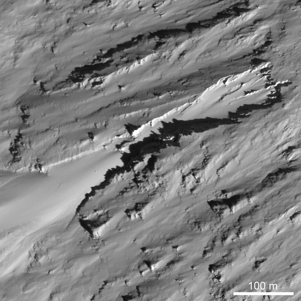
An erosional trough (400 meters long x 100-200 meters wide, or 1312 feet long x 328-656 feet long) on the eastern inner wall of the farside crater Moore F. Morphologically resembles a martian sapping feature, suggested to form due to erosion by water flowing out of the subsurface. LROC NAC image M128075293R, image width is 500 meters (1640 feet), Sun is coming from the lower right.
NASA's Goddard Space Flight Center built and manages the mission for the Exploration Systems Mission Directorate at NASA Headquarters in Washington. The Lunar Reconnaissance Orbiter Camera was designed to acquire data for landing site certification and to conduct polar illumination studies and global mapping. Operated by Arizona State University, LROC consists of a pair of narrow-angle cameras (NAC) and a single wide-angle camera (WAC). The mission is expected to return over 70 terabytes of image data.
