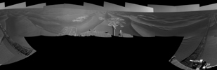
Left-eye view of a color stereo pair for PIA13221
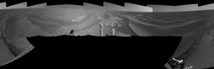
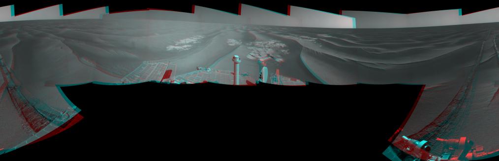
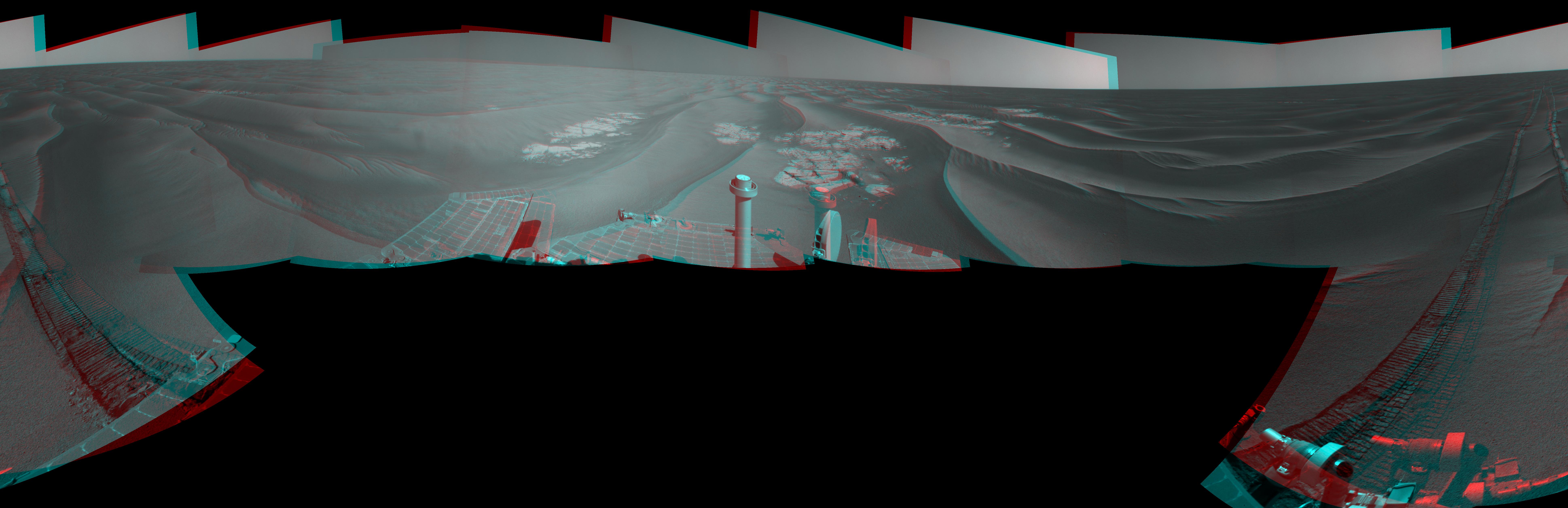
Right-eye view of a color stereo pair for PIA13221NASA's Mars Exploration Rover Opportunity used its navigation camera to take the images combined into this stereo, 360-degree view of the rover's surroundings after a drive on the 2,220th Martian day, or sol, of Opportunity's mission on Mars (April 22, 2010). The view appears three-dimensional when viewed through red-blue glasses with the red lens on the left. South is at the center; north at both ends.
Opportunity drove 10.18 meters (33.4 feet) toward the south-southeast on Sol 2220. The drive had been planned to go farther, but one precaution included in the commands sent to Opportunity that sol was for the rover to pause after about 10 meters and check whether its wheels were slipping more than 40 percent. This was a safeguard against having the rover's wheels sink too far into the sand. The slippage had exceeded that amount, so Opportunity did not try to drive farther. After receiving data from the Sol 2220 drive, the rover team assessed the situation and decided that the wheels were not sinking excessively despite the slippage. After recharging batteries, Opportunity continued driving in the same direction six sols later.
Opportunity took some of the component images for this mosaic on Sol 2220, after the drive, and the rest on Sol 2221. Wind-formed ripples of dark sand make up much of the terrain surrounding this position. Patches of outcrop are visible to the south. For scale, the distance between the parallel wheel tracks is about 1 meter (about 40 inches).
The site is about 6 kilometers (3.7 miles) south-southwest of Victoria Crater.
This panorama combines right-eye and left-eye views presented as cylindrical-perspective projections with geometric seam correction.