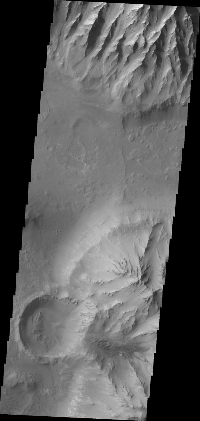
Context imageThe ridge features at the top of this VIS image are called spurs. Spurs and gullies form the cliff sides of the Vallis Marineris chasmata. Sand dunes can be seen at the bottom of the image. Dunes are a common feature on the floors of the chasmata.
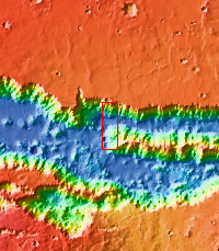
Orbit Number: 35982 Latitude: -14.0287 Longitude: 303.762 Instrument: VIS
Please see the THEMIS Data Citation Note for details on crediting THEMIS images.
NASA's Jet Propulsion Laboratory manages the 2001 Mars Odyssey mission for NASA's Science Mission Directorate, Washington, D.C. The Thermal Emission Imaging System (THEMIS) was developed by Arizona State University, Tempe, in collaboration with Raytheon Santa Barbara Remote Sensing. The THEMIS investigation is led by Dr. Philip Christensen at Arizona State University. Lockheed Martin Astronautics, Denver, is the prime contractor for the Odyssey project, and developed and built the orbiter. Mission operations are conducted jointly from Lockheed Martin and from JPL, a division of the California Institute of Technology in Pasadena.