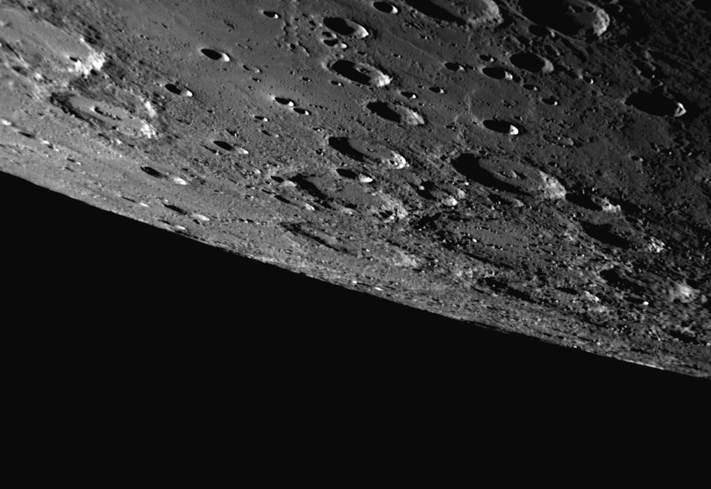
This dramatic view of Mercury was captured by the NAC as the MESSENGER spacecraft approached the planet for the mission's third Mercury flyby, which occurred just over two months ago. Since the flyby encounter, MESSENGER Science Team members have been busy utilizing these new images for a variety of projects, including the creation of a high-resolution global map of Mercury that covers about 98% of the planet's surface, similar to the low-resolution map previously released. The NAC image shown here includes a large area of Mercury's surface in the southern hemisphere that had not been imaged at high resolution prior to MESSENGER's third Mercury flyby, and thus this image is providing important coverage for this new global Mercury map.
Date Acquired: September 29, 2009
Image Mission Elapsed Time (MET): 162744445
Instrument: Narrow Angle Camera (NAC) of the Mercury Dual Imaging System (MDIS)
Scale: The top of this image spans a distance of about 400 kilometers (250 miles)
Spacecraft Altitude: 14,600 kilometers (9,100 miles)
These images are from MESSENGER, a NASA Discovery mission to conduct the first orbital study of the innermost planet, Mercury. For information regarding the use of images, see the MESSENGER image use policy.