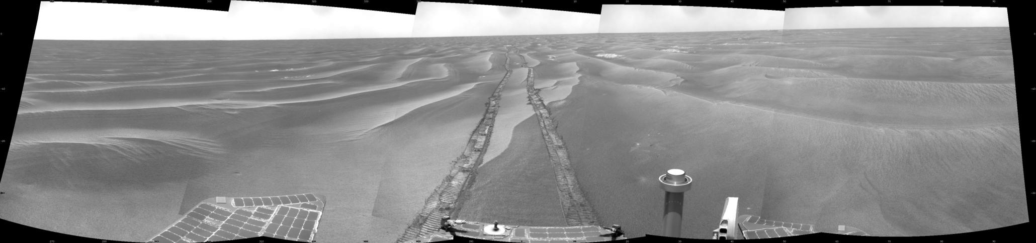
NASA's Mars Exploration Rover Opportunity used its navigation camera to take the images combined into this 180-degree view of the rover's surroundings during the 1,798th Martian day, or sol, of Opportunity's surface mission (Feb. 13, 2009). North is on top.
The rover had driven 111 meters (364 feet) southward on the preceding sol. Tracks from that drive recede northward in this view. For scale, the distance between the parallel wheel tracks is about 1 meter (about 40 inches).
The terrain in this portion of Mars' Meridiani Planum region includes dark-toned sand ripples and lighter-toned bedrock.
This view is presented as a cylindrical projection with geometric seam correction.