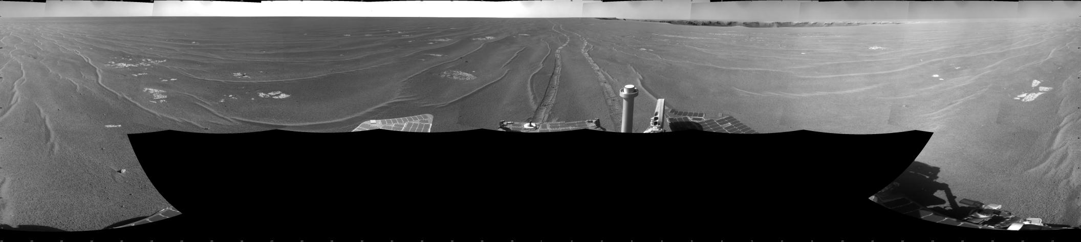
NASA's Mars Exploration Rover Opportunity used its navigation camera to take the images combined into this full-circle view of the rover's surroundings on the 1,664th Martian day, or sol, of Opportunity's surface mission (September 28, 2008). Opportunity had driven 152.8 meters (501 feet) southward on the preceding sol, reaching this location on the west side of Victoria Crater. Maps of the traverse to this point are at http://marsrovers.jpl.nasa.gov/mission/tm-opportunity/opportunity-sol1664.html.
Rover tracks from the Sol 1663 drive extend northward in the image. For scale, the two parallel tracks are about 1 meter (39 inches) apart. To the right of center, Victoria Crater is visible from the north-northeast to the east-southeast. The far right and left edges of the image are to the south.
Opportunity drove away from this location on Sol 1666 (September 30, 2008), with a drive of 129.9 meters (426 feet) further southward.
This view is presented as a cylindrical projection with geometric seam correction.