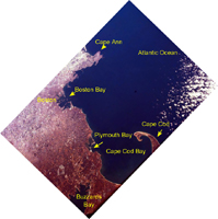
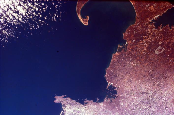
Click on image for larger annotated versionThe distinctive curve of Cape Cod, Massachusetts and the greater Boston urban area are very clear in this image of the northeastern coast of the United States. Urban areas often look light gray and fine detailed from space; knowing that, can you tell how extensive the Boston area is? Notice all of the islands in Boston Harbor; thirty of them constitute the Boston Harbor Islands National Recreation Area. The islands were formed when the sea at the end of the last Ice Age inundated the glacier-carved landscape. The squared-off barrier island across from the point of Cape Cod outlines Plymouth Bay. Plymouth is the site where a group of intrepid pilgrims seeking freedom from religious persecution in England landed in 1620. The annual Thanksgiving Day holiday observed in the United States celebrates the feast of their first harvest.
This image was taken from the Space Shuttle on February 12, 2000.
Photojournal note:
EarthKAM was formerly known as KidSat. To see images of KidSat, see https://photojournal.jpl.nasa.gov/mission/KidSat .
