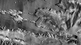
Annotated VersionThis view, covering an area approximately 580 kilometers (360 miles) wide, includes the southwestern portion of Mars's Candor Chasma, part of the large canyon system named Valles Marineris.
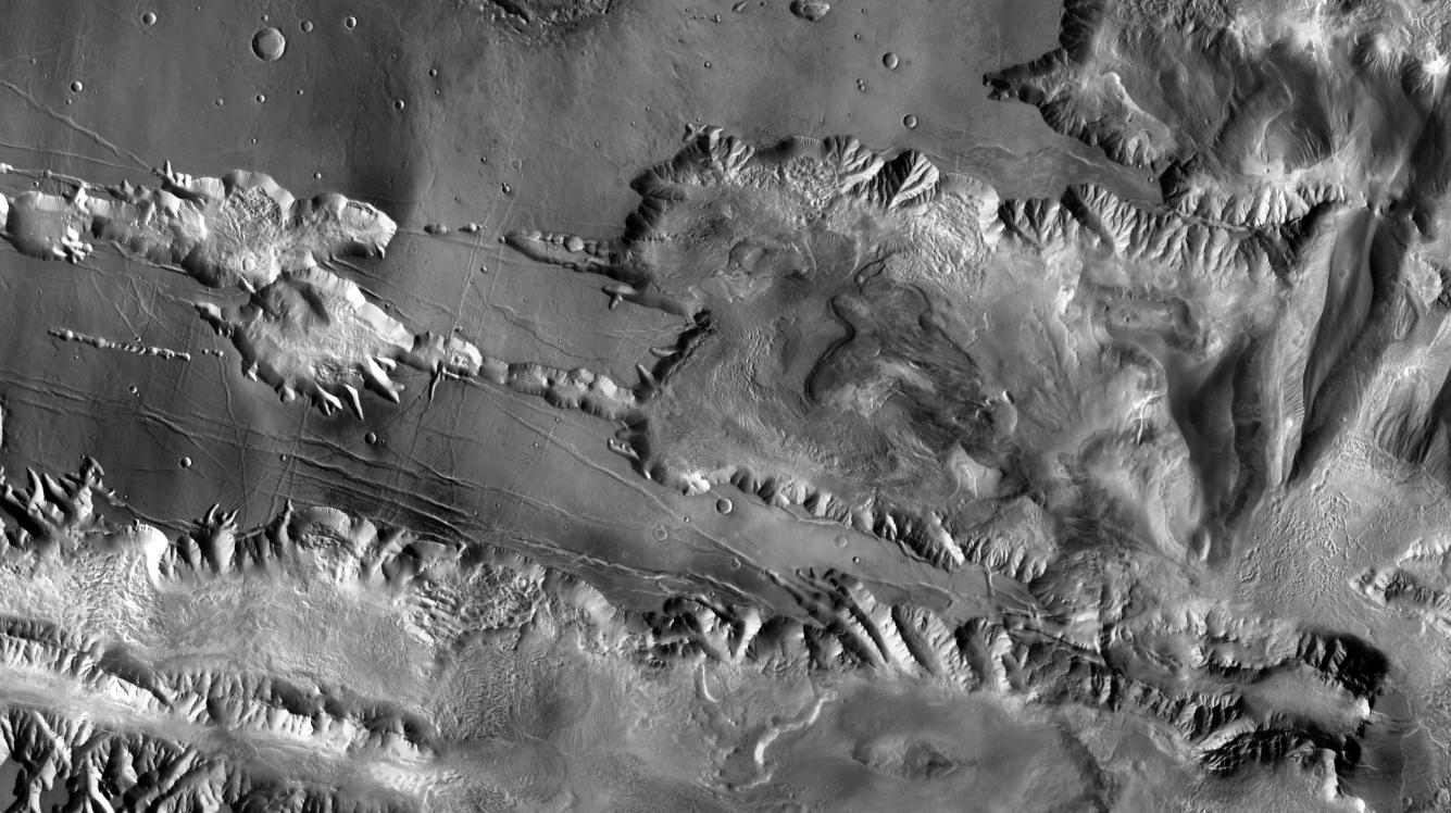
The image is excerpted from a larger image (available at http://themis.asu.edu/zoom-20041008A) based on observations by the Thermal Emission Imaging System camera on NASA's Mars Odyssey orbiter.
The annotated version shows the location of a study area within Mars' Candor Chasma within regional context.
Rock layers in the indicated study area have been observed by the High Resolution Imaging Science Experiment camera on NASA's Mars Reconnaissance Orbiter.
Illumination is from the left, and north is up.
