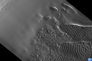
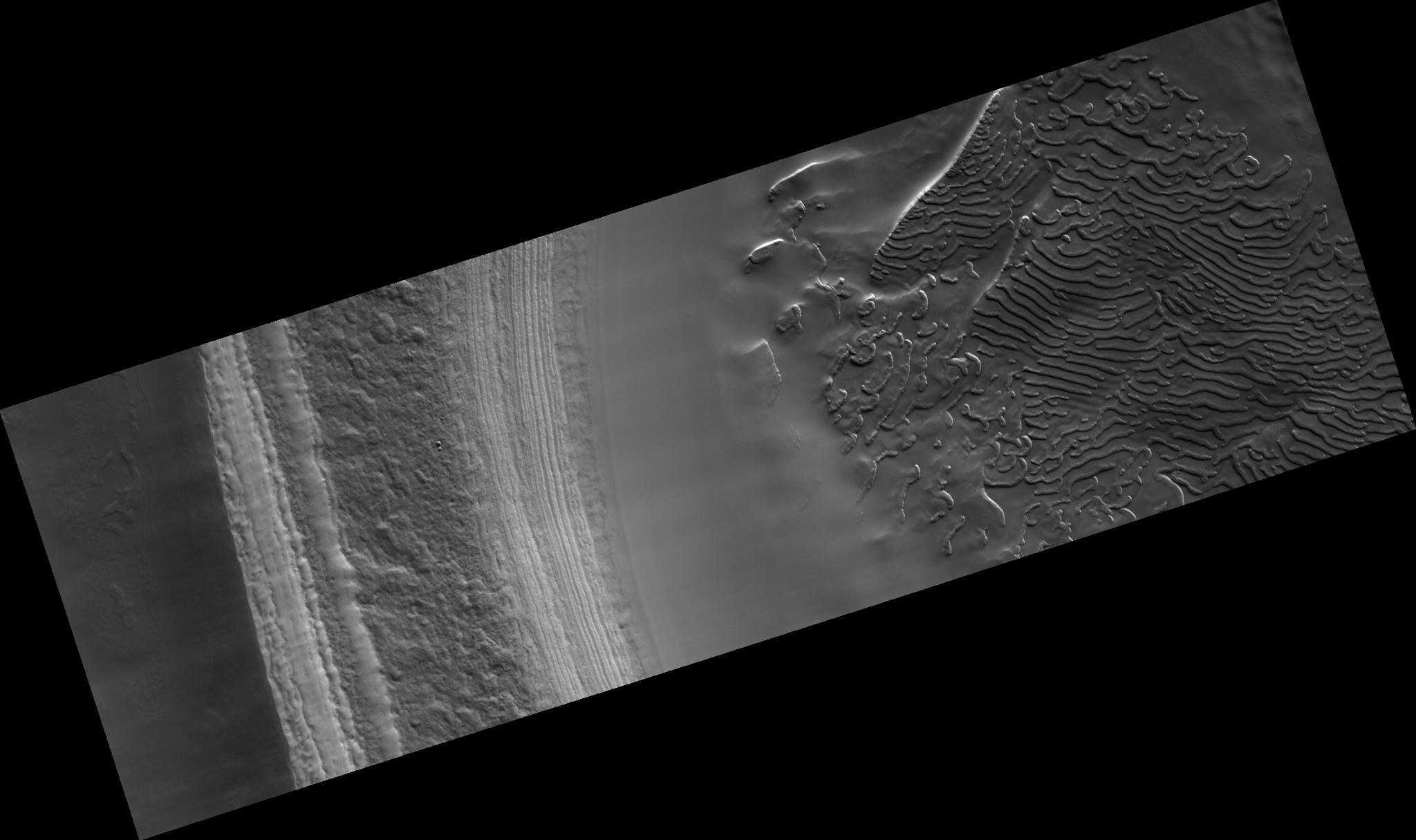
Click on image for larger versionThis subimage, about 2.5 km across, shows the south polar layered deposits exposed in a scarp illuminated from the lower right.
This HiRISE image (PSP_002882_0940) was taken in the southern spring, when the surface was completely covered by carbon dioxide frost. Therefore, most of the brightness variations in this scene are caused by topography.
The polar layered deposits are broken into blocks by fractures in two directions. Neither set of fractures is parallel to the current scarp face, suggesting that they were not formed as the scarp was eroded, but instead are due to pre-existing weaknesses in the polar layered deposits.
The four craters at lower left appear to have formed at the same time by an impactor that broke up as it entered the Martian atmosphere. The presence of many craters such as these on the south polar layered deposits indicates that they are not as young as the north polar layered deposits, which have very few craters on them.
Observation Toolbox
Acquisition date: 3 March 2007
Local Mars time: 7:06 PM
Degrees latitude (centered): -85.9°
Degrees longitude (East): 303.4°
Range to target site: 246.9 km (154.3 miles)
Original image scale range: 24.7 cm/pixel (with 1 x 1 binning) so objects ~74 cm across are resolved
Map-projected scale: 25 cm/pixel and north is up
Map-projection: POLAR STEREOGRAPHIC
Emission angle: 6.7°
Phase angle: 78.5°
Solar incidence angle: 84°, with the Sun about 6° above the horizon
Solar longitude: 196.9°, Northern Autumn
NASA's Jet Propulsion Laboratory, a division of the California Institute of Technology in Pasadena, manages the Mars Reconnaissance Orbiter for NASA's Science Mission Directorate, Washington. Lockheed Martin Space Systems, Denver, is the prime contractor for the project and built the spacecraft. The High Resolution Imaging Science Experiment is operated by the University of Arizona, Tucson, and the instrument was built by Ball Aerospace and Technology Corp., Boulder, Colo.

