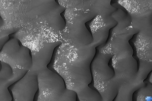
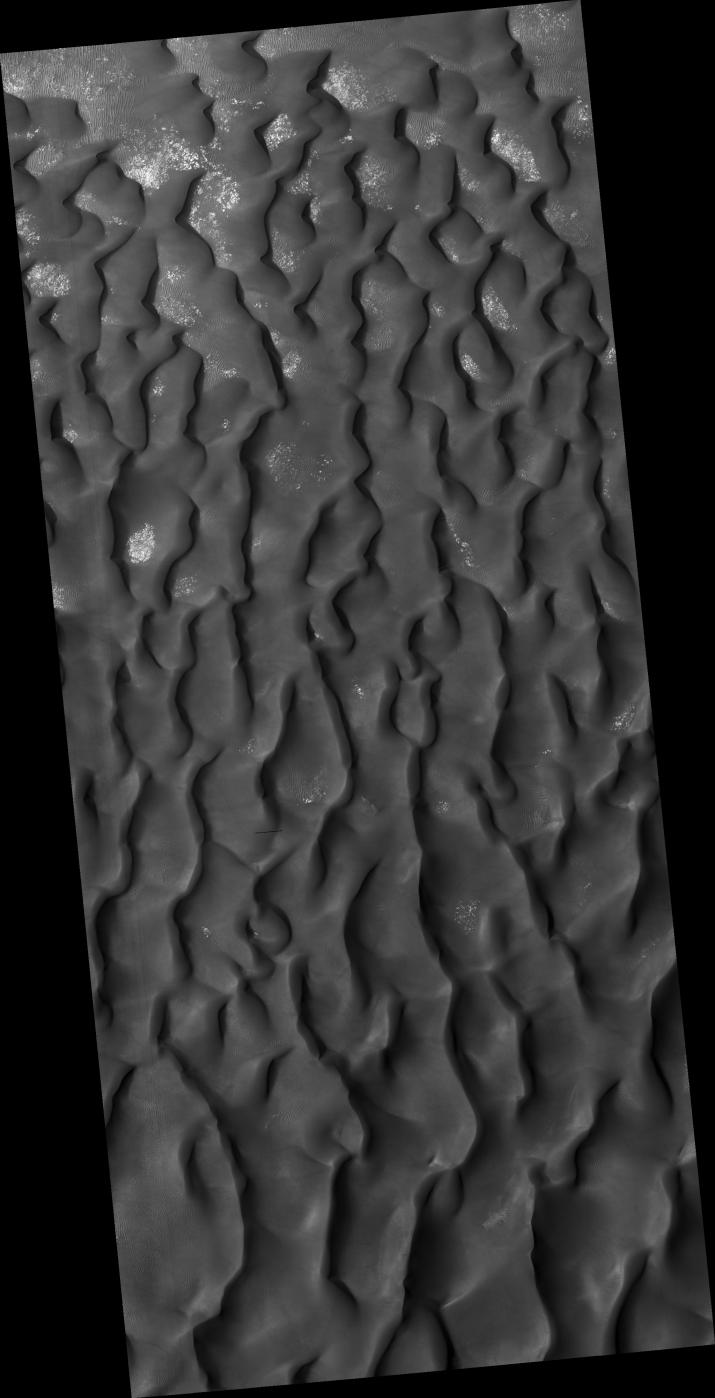
Click on image for larger versionThis HiRISE image (PSP_003141_1330) shows a sand dune field in Kaiser Crater, a 210 km (130 miles) wide impact basin in the Hellespontus region of Mars.
Winds have trapped massive quantities of sand on the floors of broad craters in this region. The steepest slopes on each dune, the slip faces, point to the east indicating that the dominant wind direction in this part of the dune field is from west to east. Patches of seasonal frost can be seen in the low areas between the dunes.
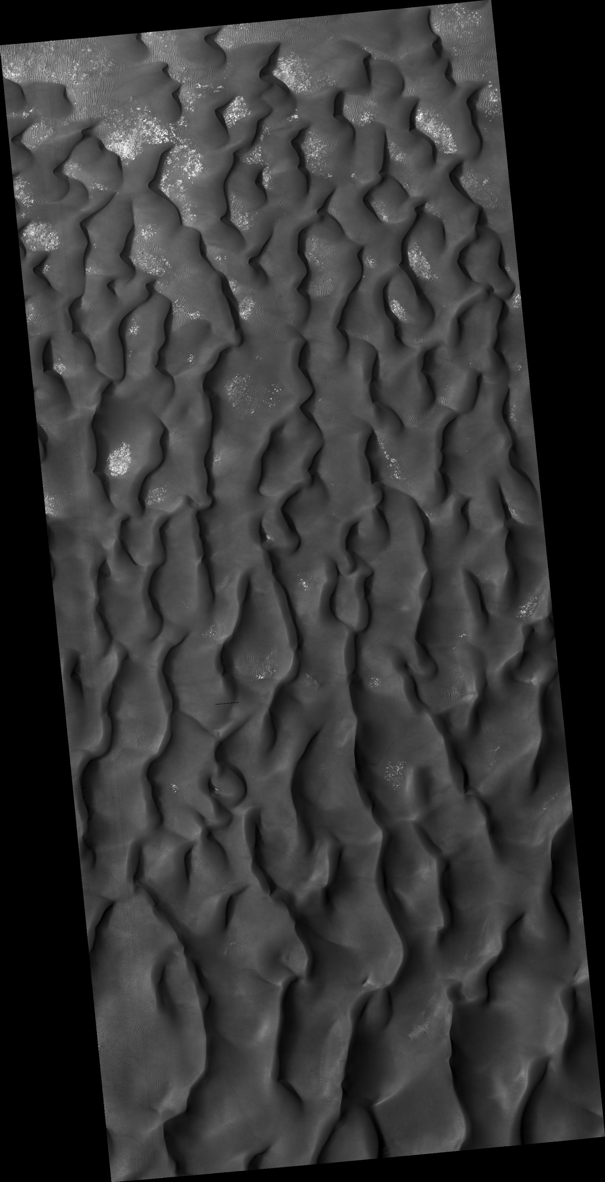
The subimage reveals smaller secondary dunes superimposed on the surface of the large dunes and even smaller ripples that appear between and perpendicular to the secondary dunes. Avalanching or mass movement of sand has left deep scars on the slip face of the large dune in the upper left portion of the subimage. This may indicate that the sand is not loose but is weakly cemented.
Observation Toolbox
Acquisition date: 3 March 2007
Local Mars time: 3:43 PM
Degrees latitude (centered): -46.6°
Degrees longitude (East): 19.3°
Range to target site: 263.9 km (164.9 miles)
Original image scale range: 26.4 cm/pixel (with 1 x 1 binning) so objects ~79 cm across are resolved
Map-projected scale: 25 cm/pixel and north is up
Map-projection: EQUIRECTANGULAR
Emission angle: 17.5°
Phase angle: 74.6°
Solar incidence angle: 58°, with the Sun about 32° above the horizon
Solar longitude: 209.0°, Northern Autumn
NASA's Jet Propulsion Laboratory, a division of the California Institute of Technology in Pasadena, manages the Mars Reconnaissance Orbiter for NASA's Science Mission Directorate, Washington. Lockheed Martin Space Systems, Denver, is the prime contractor for the project and built the spacecraft. The High Resolution Imaging Science Experiment is operated by the University of Arizona, Tucson, and the instrument was built by Ball Aerospace and Technology Corp., Boulder, Colo.
