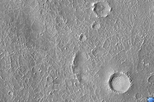
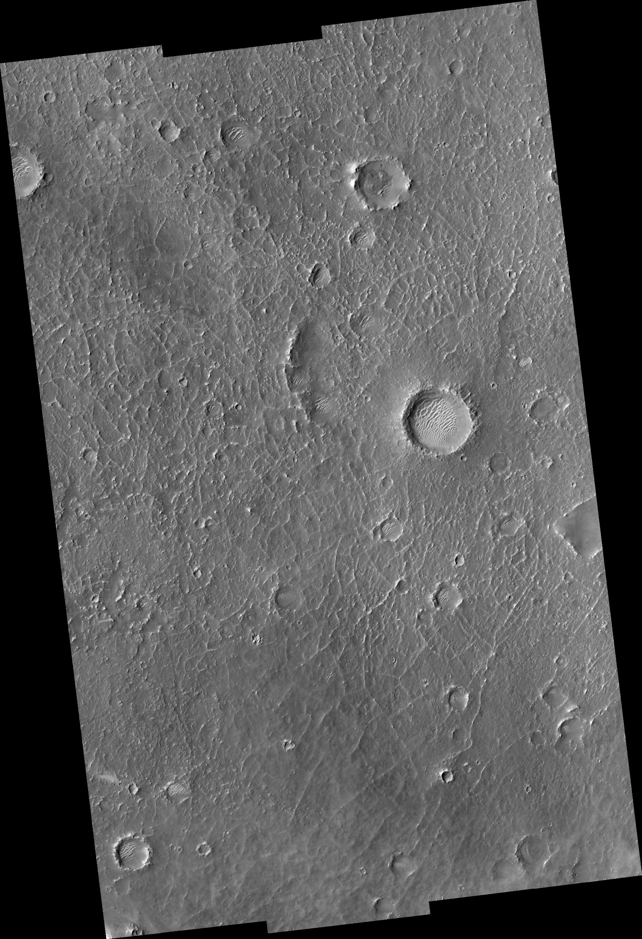
Click on image for larger versionHiRISE image (PSP_001480_2015) of proposed landing site for the Mars Science Laboratory (MSL) in Becquerel Crater.
Observation Toolbox
Acquisition date: 11 November 2006
Local Mars time: 3:27 PM
Degrees latitude (centered): 21.3°
Degrees longitude (East): 352.5°
Range to target site: 283.6 km (177.3 miles)
Original image scale range: from 28.4 cm/pixel (with 1 x 1 binning) to 113.5 cm/pixel (with 4 x 4 binning)
Map-projected scale: 25 cm/pixel and north is up
Map-projection: EQUIRECTANGULAR
Emission angle: 0.2°
Phase angle: 49.1°
Solar incidence angle: 49°, with the Sun about 41° above the horizon
Solar longitude: 137.9°, Northern Summer
NASA's Jet Propulsion Laboratory, a division of the California Institute of Technology in Pasadena, manages the Mars Reconnaissance Orbiter for NASA's Science Mission Directorate, Washington. Lockheed Martin Space Systems, Denver, is the prime contractor for the project and built the spacecraft. The High Resolution Imaging Science Experiment is operated by the University of Arizona, Tucson, and the instrument was built by Ball Aerospace and Technology Corp., Boulder, Colo.

