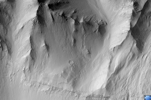
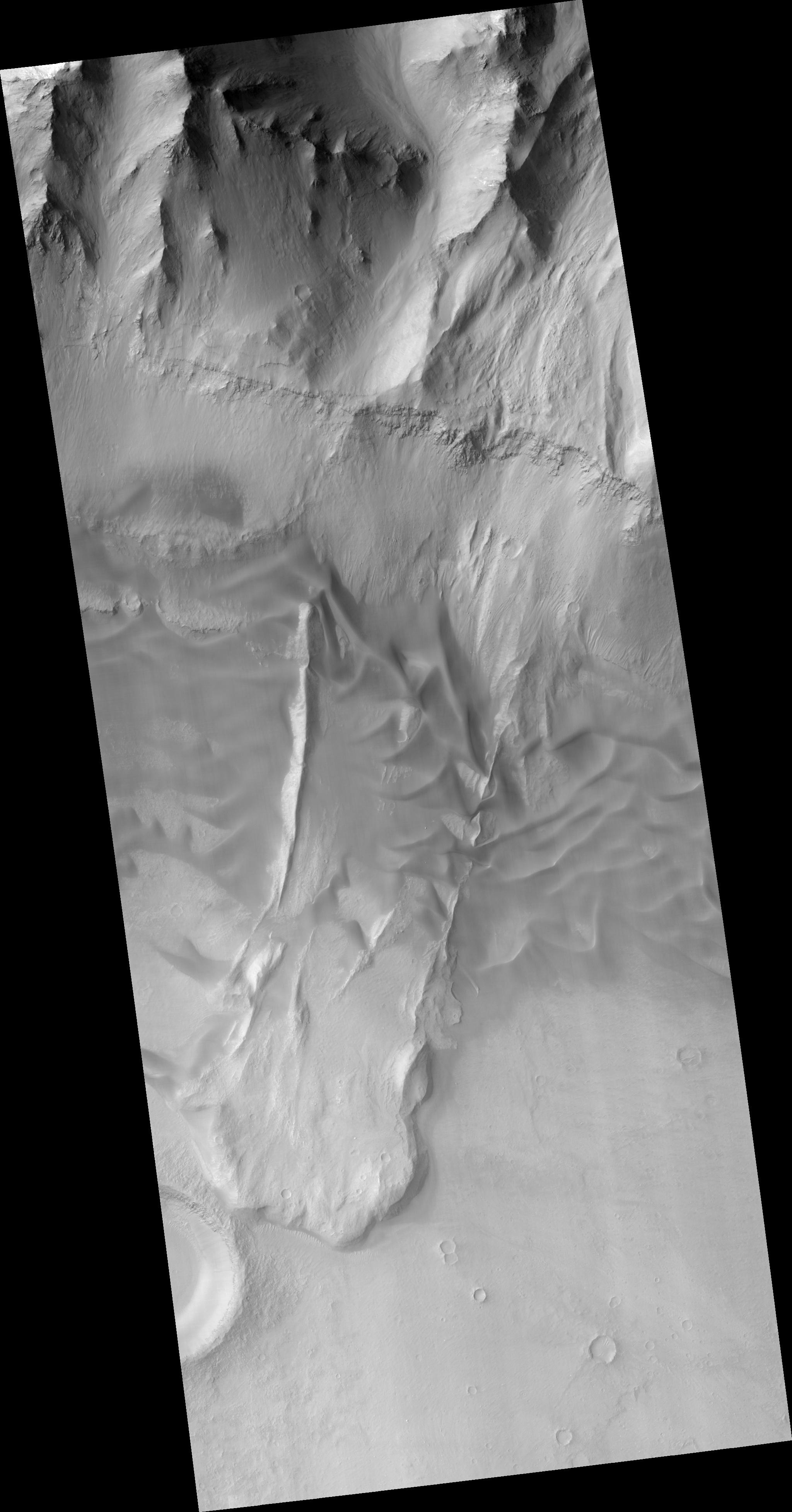
Click on image for larger versionThis HiRISE image (PSP_001970_1655) shows a landslide in the Coprates Chasma region of Valles Marineris that occurred when a large unstable area of rock broke away from the cliffs along the top of the image.
This mass of falling rock broke into many small pieces as it slid downhill and came to rest at the base of the cliff, forming the lobate (curved) mound in the lower part of the image.
The smooth textured ripples that are in the central part of the image are sand dunes. Sand dunes form as wind-blown particles roll across the surface and accumulate. Since the air on Mars is very thin, sand dunes take much longer to form on Mars than they do on Earth. The presence of large sand dunes, along with many small impact craters, on top of this landslide indicates that movement of the slide occurred a very long time ago, perhaps hundreds of millions of years.
This landslide was probably caused by a strong earthquake. A nearby meteorite impact may have generated an earthquake that was sufficiently strong to cause this landslide. Alternatively, movement along nearby faults may have triggered the landslide.
The Valles Marineris region is cut by many faults and in fact contains many more landslides such as this one. Some scientists believe that these landslides represent a record of earthquake activity in this area. Understanding the history of earthquake activity in the region may help scientists to predict the likelihood that such earthquakes occur on Mars today.
Observation Toolbox
Acquisition date: 12 December 2006
Local Mars time: 3:42 PM
Degrees latitude (centered): -14.2°
Degrees longitude (East): 306.7°
Range to target site: 266.1 km (166.3 miles)
Original image scale range: 26.6 cm/pixel (with 1 x 1 binning) so objects ~80 cm across are resolved
Map-projected scale: 25 cm/pixel and north is up
Map-projection: EQUIRECTANGULAR
Emission angle: 7.0°
Phase angle: 53.9°
Solar incidence angle: 60°, with the Sun about 30° above the horizon
Solar longitude: 157.3°, Northern Summer
NASA's Jet Propulsion Laboratory, a division of the California Institute of Technology in Pasadena, manages the Mars Reconnaissance Orbiter for NASA's Science Mission Directorate, Washington. Lockheed Martin Space Systems, Denver, is the prime contractor for the project and built the spacecraft. The High Resolution Imaging Science Experiment is operated by the University of Arizona, Tucson, and the instrument was built by Ball Aerospace and Technology Corp., Boulder, Colo.

