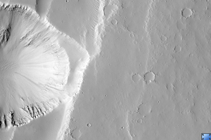
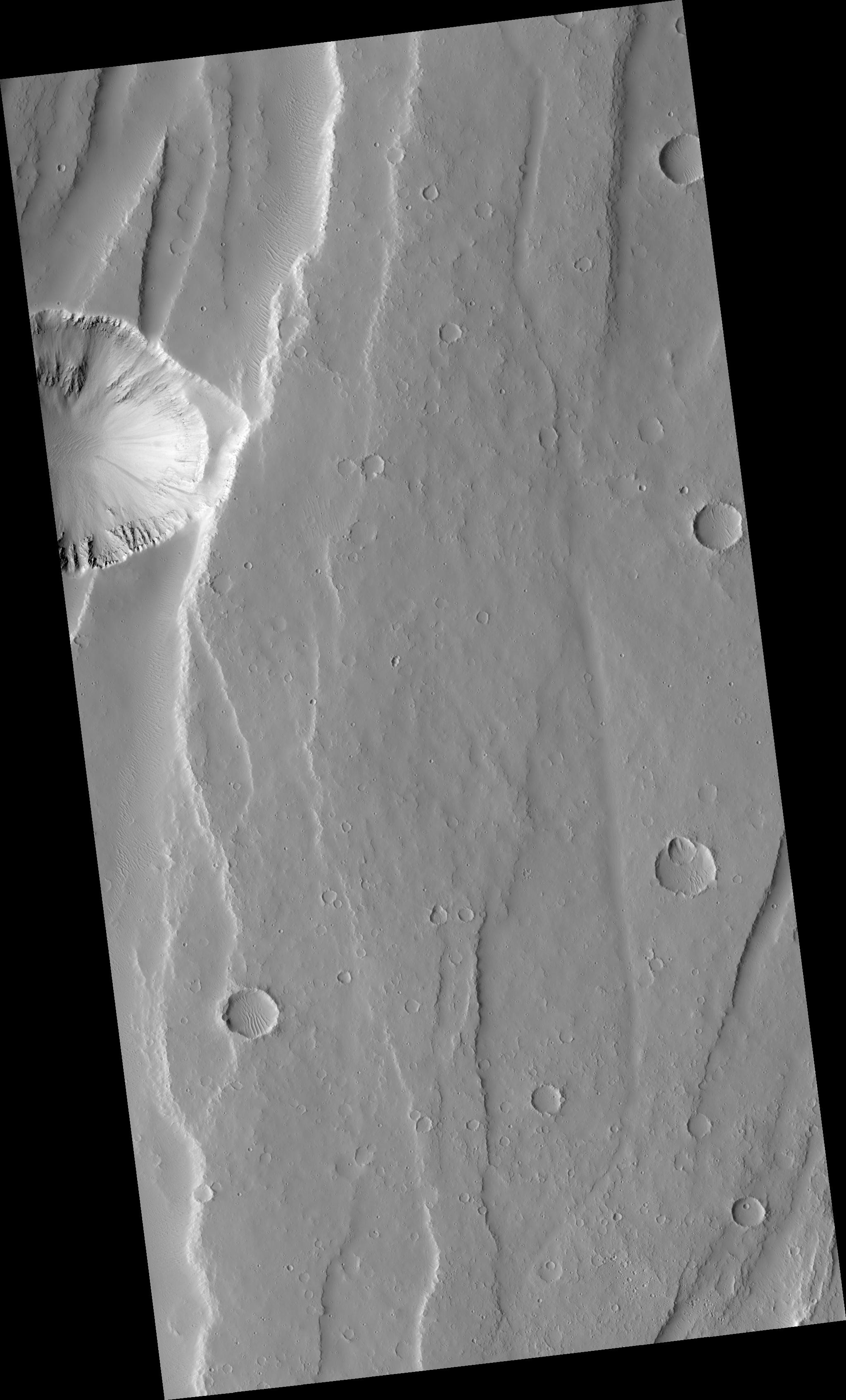
Click on image for larger versionThis HiRISE image (PSP_001840_2000) samples the plains between the large shelf volcanoes in the Tharsis region of Mars.
The long scarps in the area have been formed by faults as the ground was pulled apart. The large circular depression on the edge of the image is a giant collapse pit that appears to be related to the opening up of crust.
If you look at this image carefully, much of the plains appears blurry, as if the picture was out of focus. But HiRISE remains in perfect focus and it is Mars that is actually this blurry. Soft wind-blown dust mutes all the features in the area to create this effect.
Observation Toolbox
Acquisition date: 12 December 2006
Local Mars time: 3:33 PM
Degrees latitude (centered): 19.9°
Degrees longitude (East): 251.4°
Range to target site: 276.6 km (172.9 miles)
Original image scale range: 27.7 cm/pixel (with 1 x 1 binning) so objects ~83 cm across are resolved
Map-projected scale: 25 cm/pixel and north is up
Map-projection: EQUIRECTANGULAR
Emission angle: 2.9°
Phase angle: 48.9°
Solar incidence angle: 52°, with the Sun about 38° above the horizon
Solar longitude: 152.0°, Northern Summer
NASA's Jet Propulsion Laboratory, a division of the California Institute of Technology in Pasadena, manages the Mars Reconnaissance Orbiter for NASA's Science Mission Directorate, Washington. Lockheed Martin Space Systems, Denver, is the prime contractor for the project and built the spacecraft. The High Resolution Imaging Science Experiment is operated by the University of Arizona, Tucson, and the instrument was built by Ball Aerospace and Technology Corp., Boulder, Colo.

