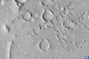
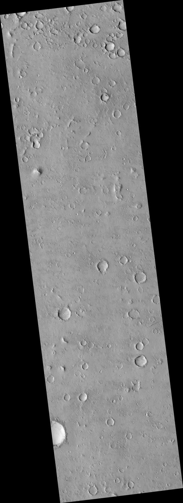
Click on image for larger versionThis HiRISE image (PSP_002703_1920) of the floor of the Isidis Basin was taken in coordination with the Mars flyby of the European Rosetta mission.
Comparing this image with those taken by the OSIRIS camera onboard Rosetta should help calibrate HiRISE. Since OSIRIS was only able to take low resolution images of Mars, this image was targeted at a broad, bland, expanse of uniform appearance.
However, it is just east of the landing ellipse for the failed European Beagle 2 lander and may help with the search for debris from that mission. This is an example of the international cooperation of HiRISE and the MRO missions.
Observation Toolbox
Acquisition date: 2 February 2007
Local Mars time: 3:40 PM
Degrees latitude (centered): 11.8°
Degrees longitude (East): 91.1°
Range to target site: 277.3 km (173.3 miles)
Original image scale range: 27.7 cm/pixel (with 1 x 1 binning) so objects ~83 cm across are resolved
Map-projected scale: 25 cm/pixel and north is up
Map-projection: EQUIRECTANGULAR
Emission angle: 0.1°
Phase angle: 56.9°
Solar incidence angle: 57°, with the Sun about 33° above the horizon
Solar longitude: 188.7°, Northern Autumn
NASA's Jet Propulsion Laboratory, a division of the California Institute of Technology in Pasadena, manages the Mars Reconnaissance Orbiter for NASA's Science Mission Directorate, Washington. Lockheed Martin Space Systems, Denver, is the prime contractor for the project and built the spacecraft. The High Resolution Imaging Science Experiment is operated by the University of Arizona, Tucson, and the instrument was built by Ball Aerospace and Technology Corp., Boulder, Colo.
