
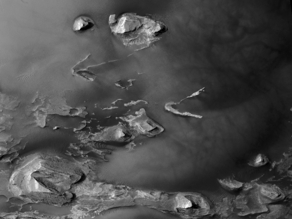
Figure 1
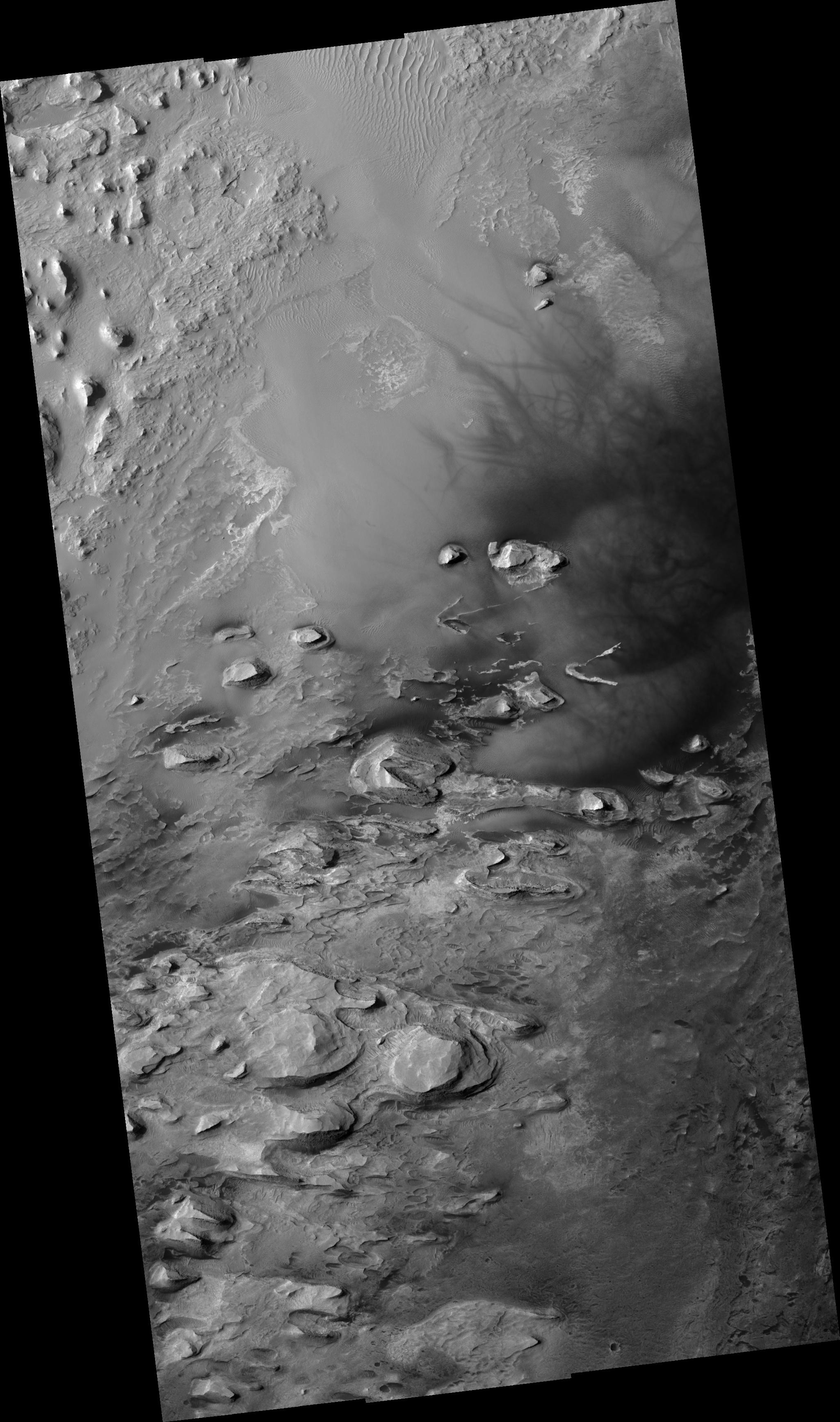
Click on image for larger versionThis HiRISE image (PSP_001810_1825) shows a northwestern portion of the floor of a crater in the Arabia Terra region of Mars.
In the subimage (figure 1), several light-toned layered outcrops are visible, surrounded by dunes of varying sizes. The outcrops exhibit multiple alternating light and dark layers with extensive fracturing and small fault offsets. The outcrops represent the eroded remains of sedimentary rocks that formed from sediments once deposited within the crater. Possible origins for the sediments include windblown debris, volcanic ash falling from the sky, or sediments that accumulated in a lake on the crater floor.
The dark filamentary streaks in the right half of the image were most likely created by the disruption and/or removal of thin surface coatings of dust by the passage of a dust devil. Streak patterns such as these have been found to change over periods of several months to an Earth year, suggesting that the ones seen here probably formed relatively recently.
Observation Geometry
Acquisition date: 12 December 2006
Local Mars time: 3:33 PM
Degrees latitude (centered): 2.2 °
Degrees longitude (East): 352.0 °
Range to target site: 274.0 km (171.3 miles)
Original image scale range: from 27.4 cm/pixel (with 1 x 1 binning) to 54.8 cm/pixel (with 2 x 2 binning)
Map-projected scale: 25 cm/pixel and north is up
Map-projection: EQUIRECTANGULAR
Emission angle: 6.6 °
Phase angle: 60.0 °
Solar incidence angle: 54 °, with the Sun about 36 ° above the horizon
Solar longitude: 150.8 °, Northern Summer
NASA's Jet Propulsion Laboratory, a division of the California Institute of Technology in Pasadena, manages the Mars Reconnaissance Orbiter for NASA's Science Mission Directorate, Washington. Lockheed Martin Space Systems, Denver, is the prime contractor for the project and built the spacecraft. The High Resolution Imaging Science Experiment is operated by the University of Arizona, Tucson, and the instrument was built by Ball Aerospace and Technology Corp., Boulder, Colo.
