Figure 1
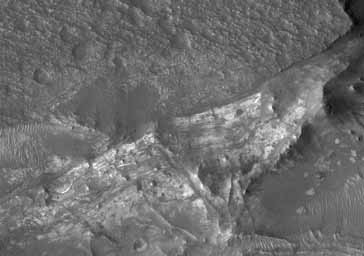
Click on image for larger versionThe HiRISE sub-image (figure 1) shows (near center) densely fractured light-toned rock in the vicinity of the Nili Fossae.The light-toned material is finely layered; these layers can be seen in cross-section along a scarp face at the bottom of the image.
At full resolution, the light-toned layered materials resemble those seen in other HiRISE images of Nili Fossae and its surroundings, some of which have been identified on the basis of their infrared spectra by Observatoire pour la Mineralogie, l'Eau, les Glaces et l'Activité (OMEGA) and the Compact Reconnaissance Imaging Spectrometer for Mars (CRISM) as containing phyllosilicates (clays), which require the presence of water to form. These layers likely formed very early in Martian history, but must have been rapidly buried due to the lack of overprinting impact craters.
Presently, the light-toned materials are being exhumed as the overlying material is eroded away by wind.
In this image, the light-toned layers are overlain by a darker, densely pitted, rubbly layer (top of image). The areal extent of this darker layer, which has no apparent internal layering, can be seen in the full image. The dark layer may represent lava flows, possibly extruded from the Nili Fossae fissures or from the Syrtis Major volcano, 1000 kilometers (~620 miles) to the southwest.
In the full image, the large valleys cutting into the dark material and its underlying layers may have formed by groundwater seepage and erosion, or by tectonic processes related to the opening of the Nili Fossae fissure system, to which the valleys connect just southeast of this image.
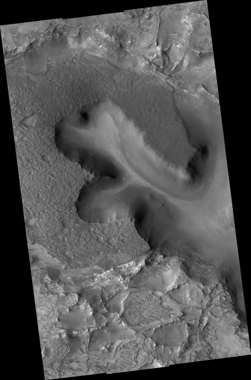
South of the large area capped by dark material is a complex terrain of irregularly shaped pits and mesas, some of which are also capped by dark, pitted rock. The lighter, layered, densely fractured material is well exposed here. The pits are filled with relatively dark-toned, fine-grained material, and lighter wind-blown ripples are also present in some cases. Large boulder-sized fragments of light-toned rock are also visible in some pits, especially near the eroding scarp face highlighted in the sub-image above.
Observation Geometry
Image PSP_002176_2025 was taken by the High Resolution Imaging Science Experiment (HiRISE) camera onboard the Mars Reconnaissance Orbiter spacecraft on 13-Jan-2007. The complete image is centered at 22.2 degrees latitude, 77.1 degrees East longitude. The range to the target site was 282.5 km (176.5 miles). At this distance the image scale ranges from 28.3 cm/pixel (with 1 x 1 binning) to 56.5 cm/pixel (with 2 x 2 binning). The image shown here has been map-projected to 25 cm/pixel and north is up. The image was taken at a local Mars time of 03:33 PM and the scene is illuminated from the west with a solar incidence angle of 54 degrees, thus the sun was about 36 degrees above the horizon. At a solar longitude of 165.8 degrees, the season on Mars is Northern Summer.
NASA's Jet Propulsion Laboratory, a division of the California Institute of Technology in Pasadena, manages the Mars Reconnaissance Orbiter for NASA's Science Mission Directorate, Washington. Lockheed Martin Space Systems, Denver, is the prime contractor for the project and built the spacecraft. The High Resolution Imaging Science Experiment is operated by the University of Arizona, Tucson, and the instrument was built by Ball Aerospace and Technology Corp., Boulder, Colo.
