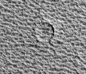
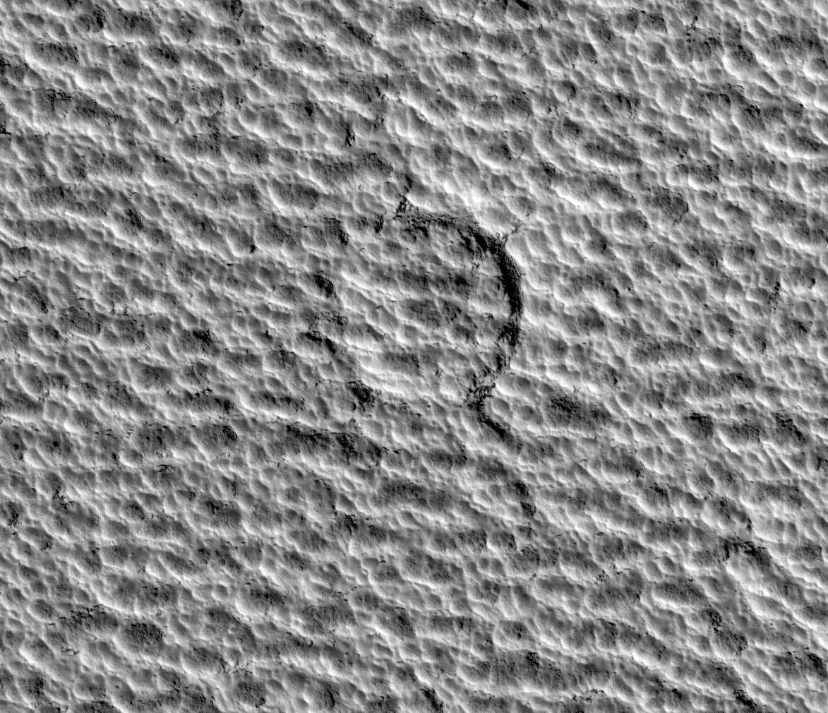
Click on image for larger versionIn this HiRISE image, the north polar permanent ice cap covers polar layered deposits and is one of the youngest formations on Mars. Despite being nearly a million square kilometers in area (about twice the size of California) there are very few impact craters known to exist on its surface. This image shows what is currently the largest known of these craters, about 80 meters (262 feet) across. The crater is heavily degraded and has almost been completely erased. Planetary surfaces accumulate craters over time and scientists use the abundance of craters of different sizes to estimate the age of the surface. The lack of craters on the permanent ice cap indicates that it is being resurfaced very quickly. This resurfacing may be due to either deposition or removal of ice. Surrounding and overprinted on the crater is the usual scalloped texture of the ice cap. These ice pits may be currently forming due to ablation (evaporation and wind erosion).
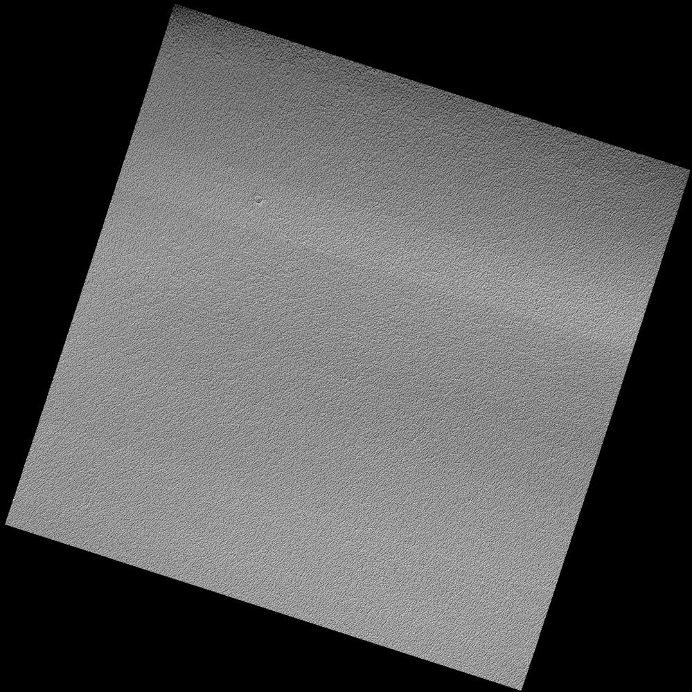
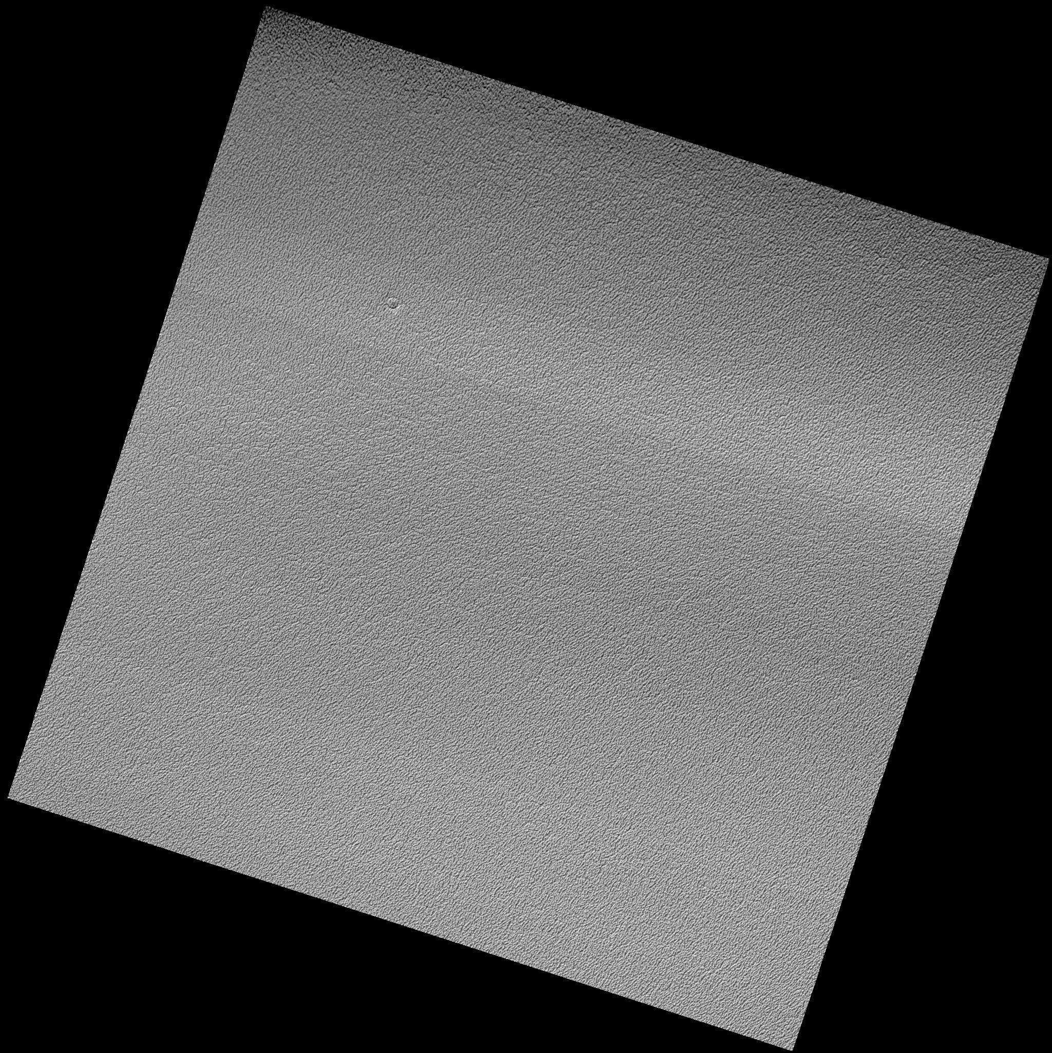
Image PSP_001406_2680 was taken by the High Resolution Imaging Science Experiment (HiRISE) camera onboard the Mars Reconnaissance Orbiter spacecraft on November 14, 2006. The complete image is centered at 88.0 degrees latitude, 135.0 degrees East longitude. The range to the target site was 318.5 km (199.0 miles). At this distance the image scale is 31.9 cm/pixel (with 1 x 1 binning) so objects ~96 cm across are resolved. The image shown here [below] has been map-projected to 25 cm/pixel. The image was taken at a local Mars time of 10:43 AM and the scene is illuminated from the west with a solar incidence angle of 71 degrees, thus the sun was about 19 degrees above the horizon. At a solar longitude of 135.1 degrees, the season on Mars is Northern Summer.
NASA's Jet Propulsion Laboratory, a division of the California Institute of Technology in Pasadena, manages the Mars Reconnaissance Orbiter for NASA's Science Mission Directorate, Washington. Lockheed Martin Space Systems, Denver, is the prime contractor for the project and built the spacecraft. The High Resolution Imaging Science Experiment is operated by the University of Arizona, Tucson, and the instrument was built by Ball Aerospace and Technology Corp., Boulder, Colo.