13 August 2006
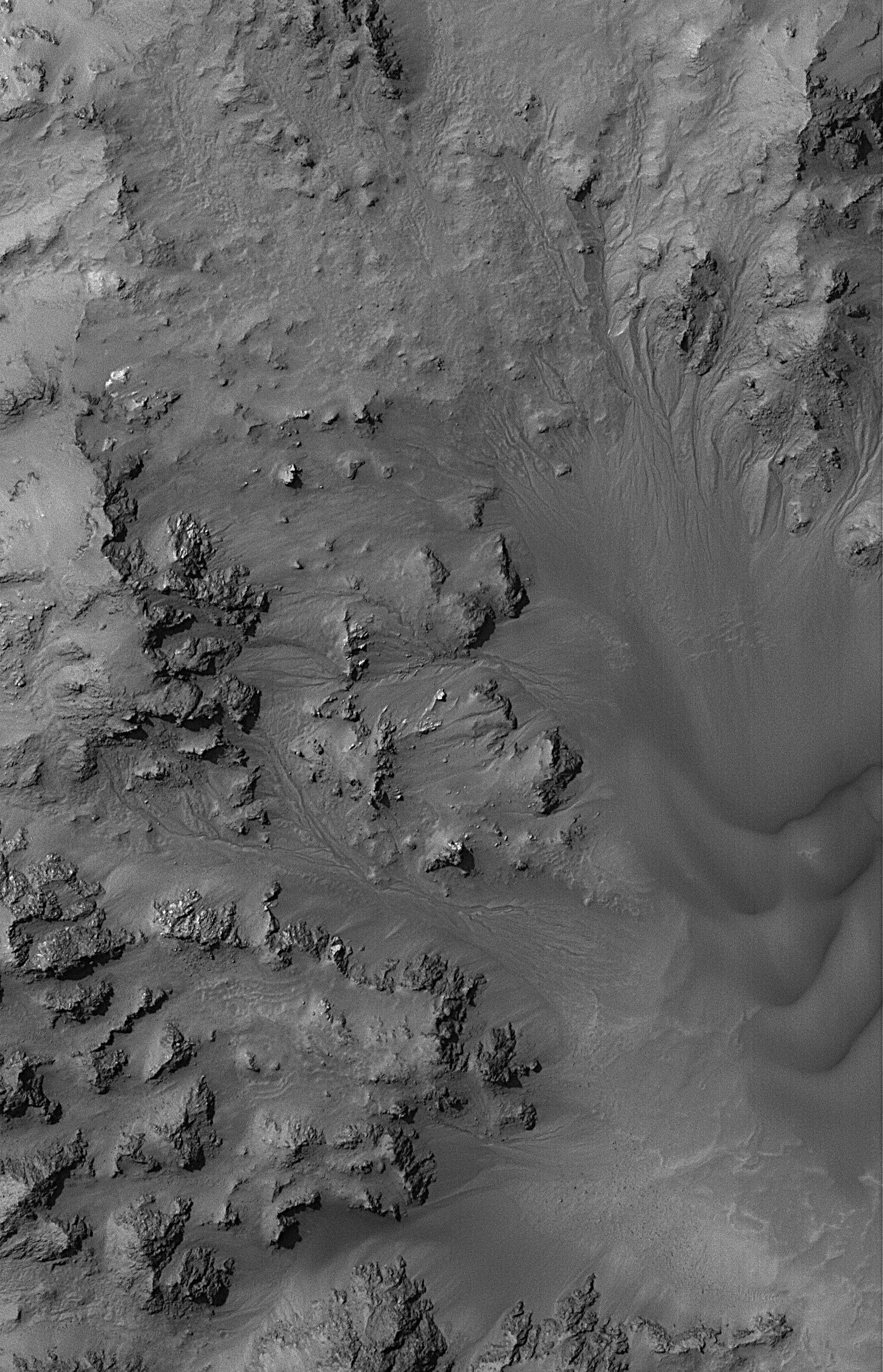
This Mars Global Surveyor (MGS) Mars Orbiter Camera (MOC) image shows dried streambeds -- martian gullies -- in the mountainous central peak region of Hale Crater. Some scientists have suggested that the fluid which carved these gullies was liquid water, and that it either resulted from ancient snowmelt or from release of groundwater that percolated to the surface in the intensely fractured rock of Hale's central peak. In either case, the gullies are dry today, and dark sand can be seen as dunes near the right/lower right part of the image.
Location near: 35.8°S, 36.8°W
Image width: ~3 km (~1.9 mi)
Illumination from: upper left
Season: Southern Summer
