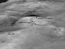
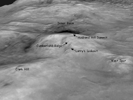
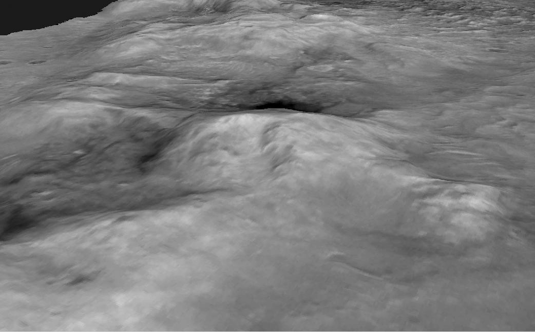
Figure 1: Spirit's Long Journey, Sol 450This perspective view of a three-dimensional terrain model shows the shape of the "Columbia Hills" landscape where NASA's Mars Exploration Rover Spirit has been working since mid-2004. North is toward the lower left. "Husband Hill" is at the center, with the "Inner Basin" behind it. This view is from images taken by the Mars Orbiter Camera on NASA's Mars Global Surveyor and processed into a three-dimensional terrain model by the U.S. Geological Survey.
Spirit's Long Journey, Sol 450
More than 15 months after landing on Mars, NASA's Spirit rover is still going strong, having traveled a total of 4,276 meters (2.66 miles) as of martian day, or sol, 450 (April 8, 2005). This is a perspective view of the steepness of the "Columbia Hills," showing sites nicknamed "Tennessee Valley," "Larry's Lookout," "Inner Basin," "Home Plate," and the basin and summit beyond. This orbital view comprises images taken by the Mars Orbiter Camera on NASA's Mars Global Surveyor and processed by the U.S. Geological Survey as a three-dimensional terrain model.
