- Original Caption Released with Image:
-
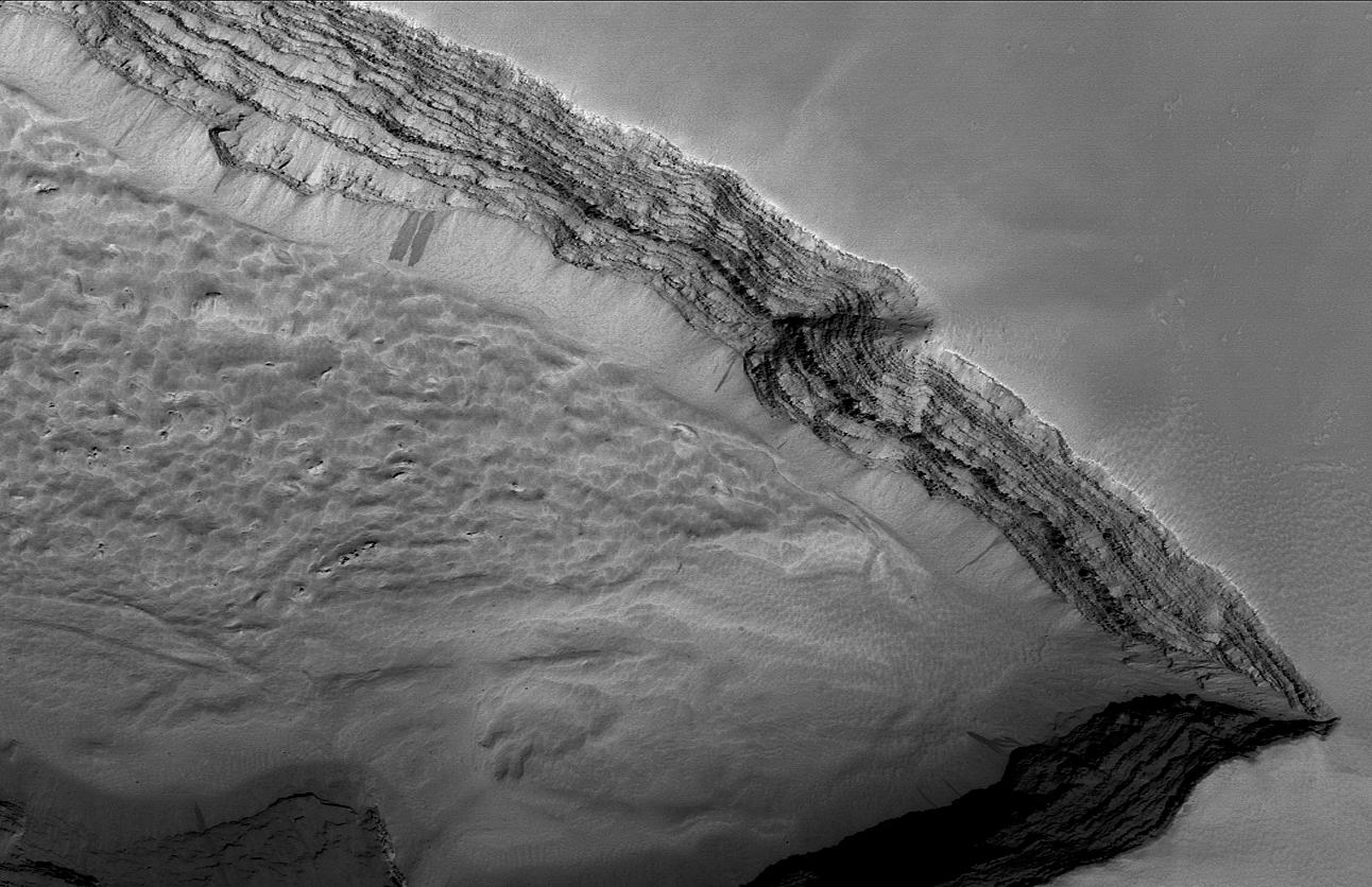
This Mars Global Surveyor (MGS) Mars Orbiter Camera (MOC) image shows layered rock outcropping in a pit on the lower west flank of Arsia Mons, one of the large Tharsis shield volcanoes. Given their location, these layers are very likely dominated by volcanic rocks, including lava flows. This depression is located near 8.8°S, 123.7°W. The image covers an area about 4.8 km (3 mi) wide and is illuminated by sunlight from the lower right.
- Image Credit:
-
NASA/JPL/Malin Space Science Systems
Image Addition Date: -
2005-01-23
|
