- Original Caption Released with Image:
-
26 November 2004
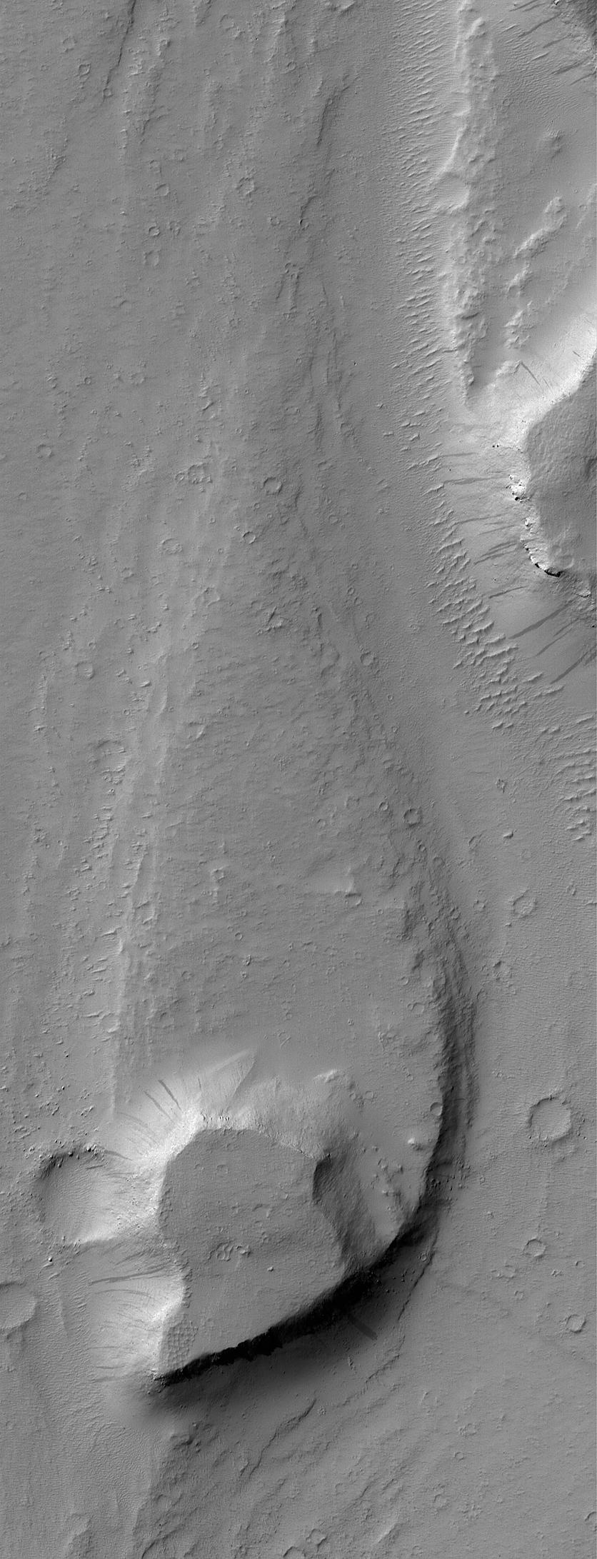
This October 2004 Mars Global Surveyor (MGS) Mars Orbiter Camera (MOC) image shows a streamlined landform in the Mangala Valles region of Mars. An ancient catastrophic flood, probably consisting of water and debris, ran northward (from the bottom toward the top of the image) in this portion of the Mangala Valles system. The high mesa at the south end of the streamlined form may have been above the floodwaters. Its presence as an obstacle to the flow caused erosion and deposition of sediment to create the teardrop-shaped, tapered form in its lee. This feature is located near 15.0°S, 149.3°W. The image covers an area about 3 km (1.9 mi) wide and is illuminated by sunlight from the upper left.
- Image Credit:
-
NASA/JPL/Malin Space Science Systems
Image Addition Date: -
2004-11-26
|
