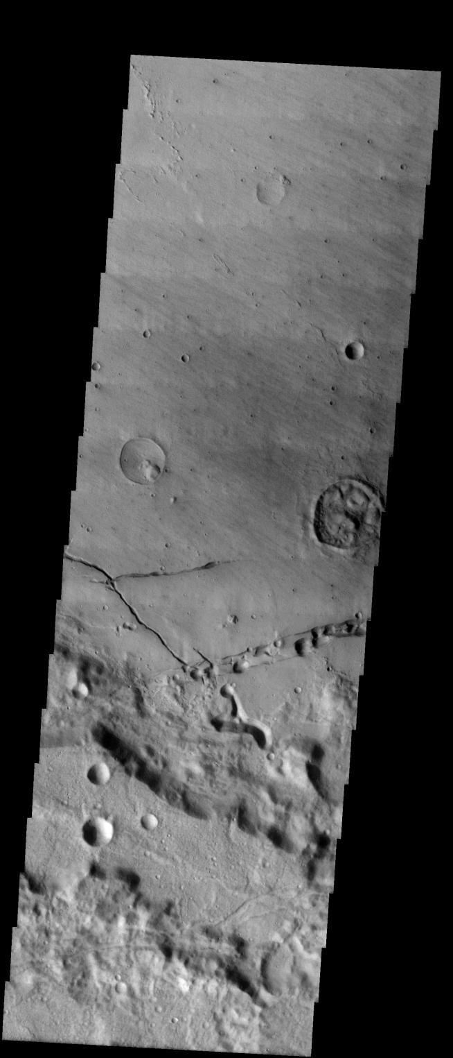
We will be looking at collapse pits for the next two weeks. Collapse pits on Mars are formed in serveral ways. In volcanic areas, channelized lava flows can form roofs which insulate the flowing lava. These features are termed lava tubes on Earth and are common features in basaltic flows. After the lava has drained, parts of the roof of the tube will collapse under its own weight. These collapse pits will only be as deep as the bottom of the original lava tube. Another type of collapse feature associated with volcanic areas arises when very large eruptions completely evacuate the magma chamber beneath the volcano. The weight of the volcano will cause the entire ediface to subside into the void space below it. Structural features including fractures and graben will form during the subsidence. Many times collapse pits will form within the graben. In addition to volcanic collapse pits, Mars has many collapse pits formed when volatiles (such as subsurface ice) are released from the surface layers. As the volatiles leave, the weight of the surrounding rock causes collapse pits to form.
These pits occur in the floor of Bernard Crater. These collapse pits were likely formed by the release of volatiles from the materials deposited in the crater floor.
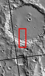
Image information: VIS instrument. Latitude -24, Longitude 205.5 East (154.5 West). 19 meter/pixel resolution.
Note: this THEMIS visual image has not been radiometrically nor geometrically calibrated for this preliminary release. An empirical correction has been performed to remove instrumental effects. A linear shift has been applied in the cross-track and down-track direction to approximate spacecraft and planetary motion. Fully calibrated and geometrically projected images will be released through the Planetary Data System in accordance with Project policies at a later time.
NASA's Jet Propulsion Laboratory manages the 2001 Mars Odyssey mission for NASA's Office of Space Science, Washington, D.C. The Thermal Emission Imaging System (THEMIS) was developed by Arizona State University, Tempe, in collaboration with Raytheon Santa Barbara Remote Sensing. The THEMIS investigation is led by Dr. Philip Christensen at Arizona State University. Lockheed Martin Astronautics, Denver, is the prime contractor for the Odyssey project, and developed and built the orbiter. Mission operations are conducted jointly from Lockheed Martin and from JPL, a division of the California Institute of Technology in Pasadena.