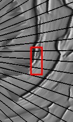
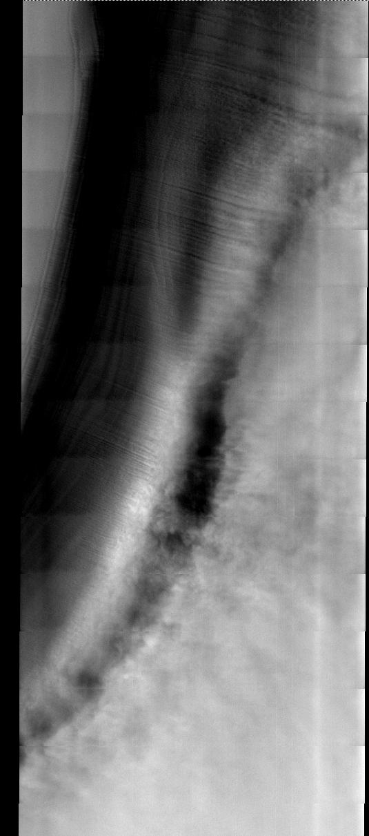
This week we will be looking at five examples of laminar wind flow on the north polar cap. On Earth, gravity-driven south polar cap winds are termed "catabatic" winds. Catabatic winds begin over the smooth expanse of the cap interior due to temperature differences between the atmosphere and the surface. Once begun, the winds sweep outward along the surface of the polar cap toward the sea. As the polar surface slopes down toward sealevel, the wind speeds increase. Catabatic wind speeds in the Antartic can reach several hundreds of miles per hour.
In the images of the Martian north polar cap we can see these same type of winds. Notice the streamers of dust moving downslope over the darker trough sides, these streamers show the laminar flow regime coming off the cap. Within the trough we see turbulent clouds of dust, kicked up at the trough base as the winds slow down and enter a chaotic flow regime.
The horizontal lines in these images are due to framelet overlap and lighting conditions over the bright polar cap.
Image information:VIS instrument. Latitude 86.5, longitude 57.4 East (302.6 West). 40 meter/pixel resolution.
Note: this THEMIS visual image has not been radiometrically nor geometrically calibrated for this preliminary release. An empirical correction has been performed to remove instrumental effects. A linear shift has been applied in the cross-track and down-track direction to approximate spacecraft and planetary motion. Fully calibrated and geometrically projected images will be released through the Planetary Data System in accordance with Project policies at a later time.
NASA's Jet Propulsion Laboratory manages the 2001 Mars Odyssey mission for NASA's Office of Space Science, Washington, D.C. The Thermal Emission Imaging System (THEMIS) was developed by Arizona State University, Tempe, in collaboration with Raytheon Santa Barbara Remote Sensing. The THEMIS investigation is led by Dr. Philip Christensen at Arizona State University. Lockheed Martin Astronautics, Denver, is the prime contractor for the Odyssey project, and developed and built the orbiter. Mission operations are conducted jointly from Lockheed Martin and from JPL, a division of the California Institute of Technology in Pasadena.
