- Original Caption Released with Image:
-
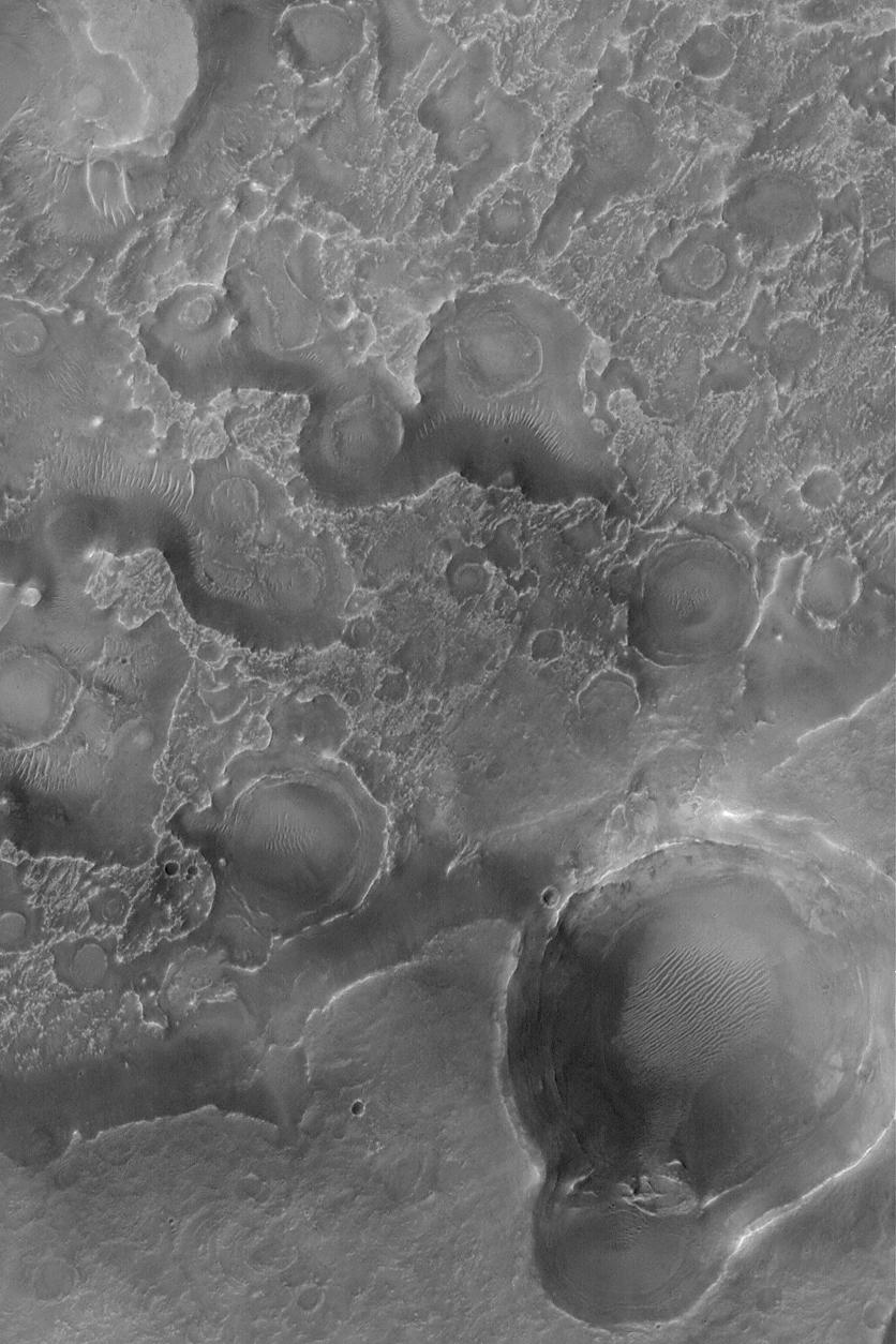
9 September 2004
Northeastern Arabia Terra is a heavily eroded portion of the martian cratered highlands. Layered rock, containing filled and buried valleys and ancient impact craters, has been eroded such that these once-buried features are now partially exposed at the martian surface. This Mars Global Surveyor (MGS) Mars Orbiter Camera (MOC) image shows an example of a field of circular and somewhat circular features that once were impact craters that were subsequently filled, buried, then exhumed to form the patterns exhibited here. The image is located near 25.6°N, 290.2°W. The image covers an area approximately 3 km (1.9 mi) across and is illuminated by sunlight from the lower left.
- Image Credit:
-
NASA/JPL/Malin Space Science Systems
Image Addition Date: -
2004-09-09
|
