- Original Caption Released with Image:
-
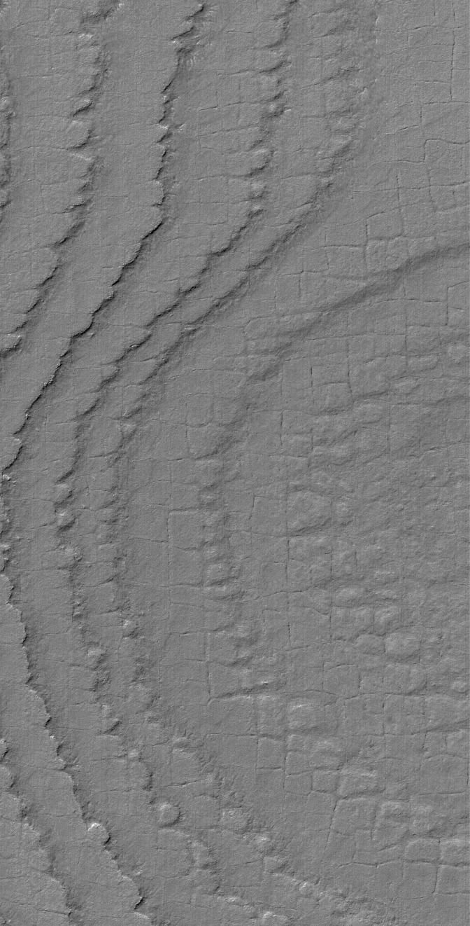
25 July 2004
This Mars Global Surveyor (MGS) Mars Orbiter Camera (MOC) image shows layers broken-up by processes that form nearly square polygonal cracks and textures in the south polar region of Mars. Exactly how the polygons formed is anyone's guess; typically, polygon patterns in the martian polar regions are taken to indicate the presence of ground ice, similar to polygons in the Earth's arctic and antarctic regions. This picture is located near 86.4°S, 180.3°W, and is illuminated by sunlight from the upper left. The image covers an area about 3 km (1.9 mi) wide.
- Image Credit:
-
NASA/JPL/Malin Space Science Systems
Image Addition Date: -
2004-07-25
|