26 September 2005
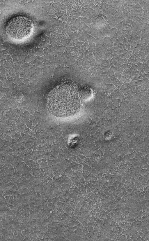
This Mars Global Surveyor (MGS) Mars Orbiter Camera (MOC) image shows polygonal patterned ground on a south high-latitude plain. The outlines of the polygons, like the craters and hills in this region, are somewhat enhanced by the presence of bright frost left over from the previous winter. On Earth, polygons at high latitudes would usually be attributed to the seasonal freezing and thawing cycles of ground ice. The origin of similar polygons on Mars is less certain, but might also be an indicator of ground ice.
Location near: 75.3°S, 113.2°W
Image width: width: ~3 km (~1.9 mi)
Illumination from: upper left
Season: Southern Spring
