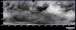
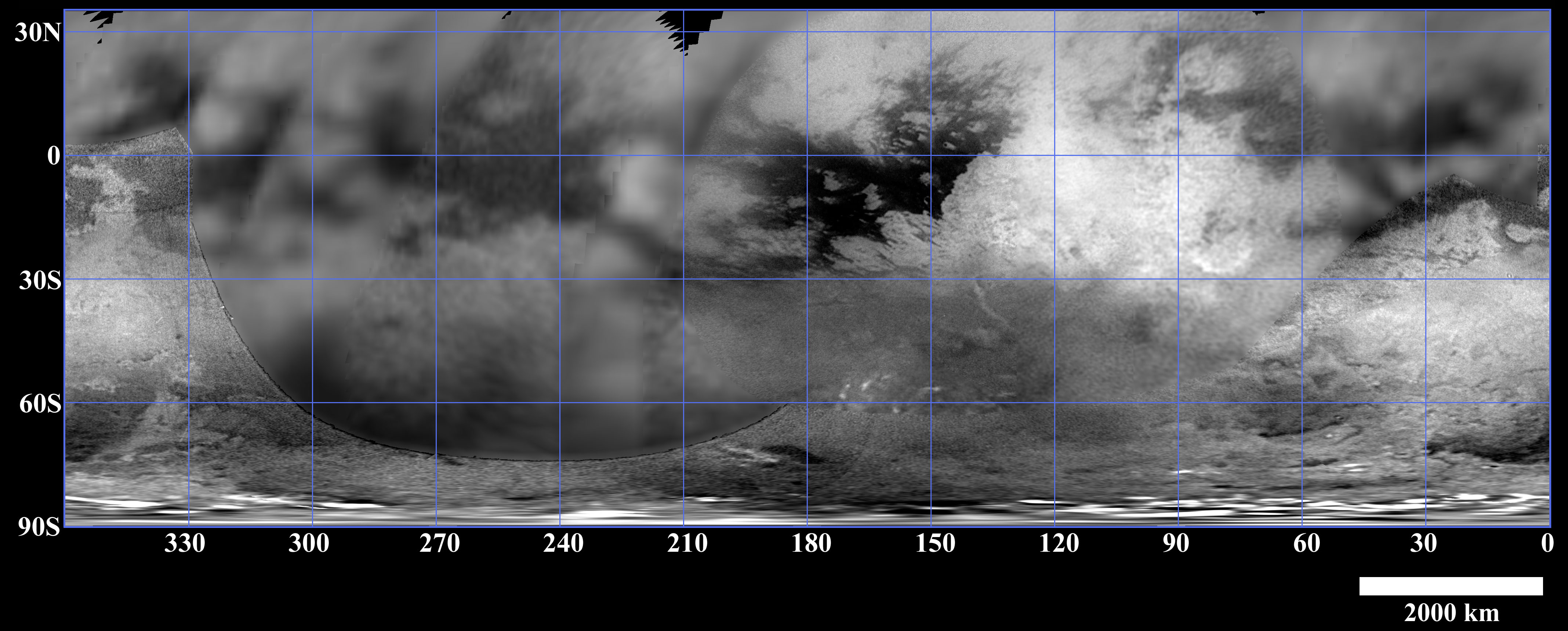
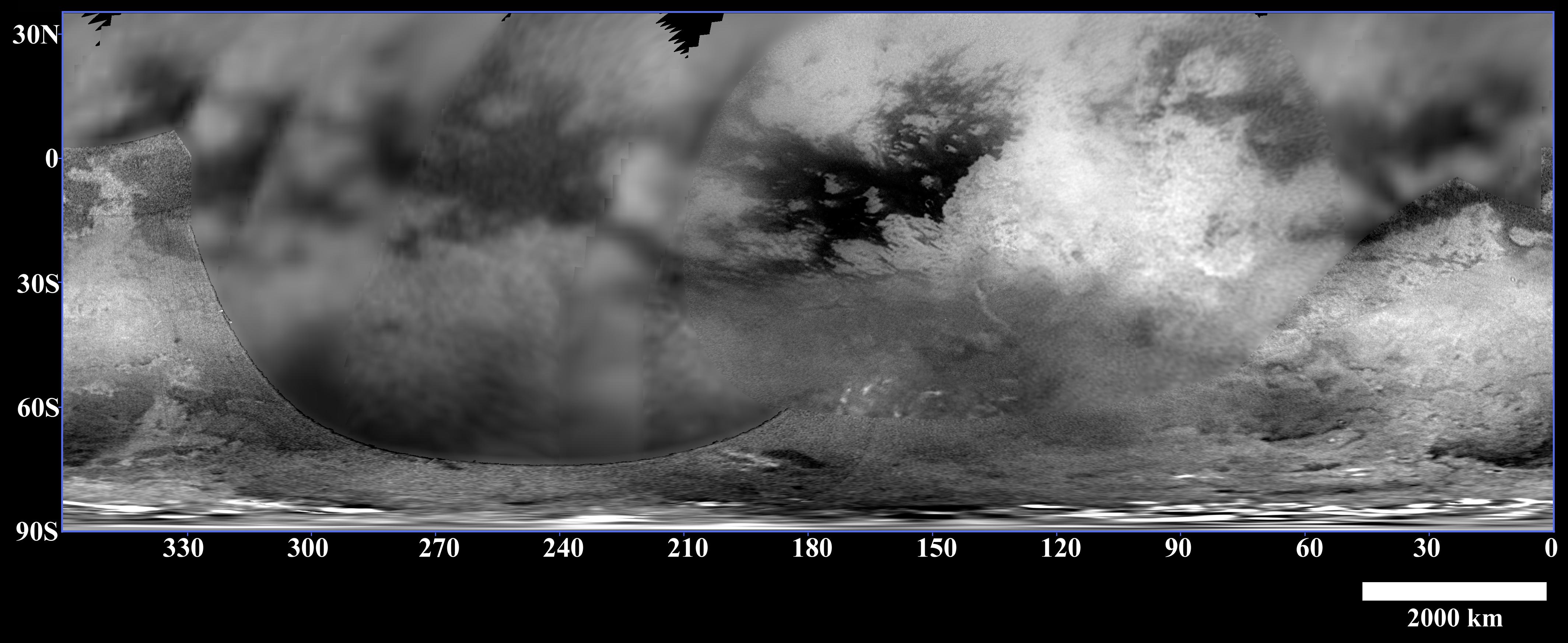
Figure 1This map of Titan's surface brightness was assembled from images taken by the Cassini spacecraft over the past year, both as it approached the Saturn system and during three closer flybys in July, October and December 2004.
Due to Titan's thick, hazy atmosphere, the size of surface features that can be resolved is a few to five times larger than the actual pixel scale. The pixel scales of the individual images in the map range from 88 to 2 kilometers (55 miles to 1 mile), so the scales of the surface features that can be resolved range from 180 to 10 kilometers (112 to 6 miles).
The images were acquired using a near-infrared filter (centered at 938 nanometers) that has been proven effective at peering through Titan's haze to its troposphere and surface. Similar to a cloudy day on Earth, these images indicate only brightness variations; there are no shadows or topographic shading effects.
The map reveals complex patterns of bright and dark material on Titan's surface. The large scale features, including Xanadu Regio--the large, bright feature that extends from approximately 80 degrees to 130 degrees west near the equator--have been observed from Earth over the past several years.
The patterns seem to vary with latitude. Close to the equator there is more contrast in the large-scale bright and dark features, with some strikingly linear boundaries that are suggestive of geologic processes at work within Titan's crust. The southern-middle latitudes are more uniformly bright, whereas there is more dark material near the south pole. The very bright features near the south pole are clouds. High northern latitudes are not illuminated during the current season on Titan, which is southern summer.
Cassini-Huygens scientists are investigating what causes the latitudinal variation in brightness. One possibility is that, similar to Earth, some parts of the surface receive higher amounts of precipitation than others over Titan's long year (29.5 Earth years), resulting in different amounts of erosion across the surface.
The Huygens probe landed at approximately 10 degrees south, 190 degrees west, near a boundary between dark and bright material. By combining Huygens' very high-resolution observations (see PIA07235) with Cassini's regional and global-scale, lower-resolution images of Titan, as well as Cassini radar and the visual and infrared mapping spectrometer observations (see PIA07009 and PIA06983, respectively), Cassini-Huygens scientists are working to unravel the complex history of Titan's surface.
The Cassini-Huygens mission is a cooperative project of NASA, the European Space Agency and the Italian Space Agency. The Jet Propulsion Laboratory, a division of the California Institute of Technology in Pasadena, manages the mission for NASA's Science Mission Directorate, Washington, D.C. The Cassini orbiter and its two onboard cameras were designed, developed and assembled at JPL. The imaging team is based at the Space Science Institute, Boulder, Colo.
For more information about the Cassini-Huygens mission, visit http://saturn.jpl.nasa.gov and the Cassini imaging team home page, http://ciclops.org.
