- Original Caption Released with Image:
-
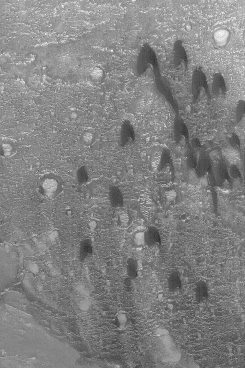
28 April 2004
One of the simplest forms a sand dune can take is the barchan. The term, apparently, comes from the Arabic word for crescent-shaped dunes. They form in areas with a single dominant wind direction that are also not overly-abundant in sand. The barchan dunes shown here were imaged in March 2004 by the Mars Global Surveyor (MGS) Mars Orbiter Camera (MOC) as it passed over a crater in western Arabia Terra near 21.1°N, 17.6°W. The horns and steep slope on each dune, known as the slip face, point toward the south, indicating prevailing winds from the north (top). The picture covers an area about 3 km (1.9 mi) across and is illuminated by sunlight from the lower left.
- Image Credit:
-
NASA/JPL/Malin Space Science Systems
Image Addition Date: -
2004-04-30
|