Released 28 April 2004
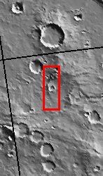
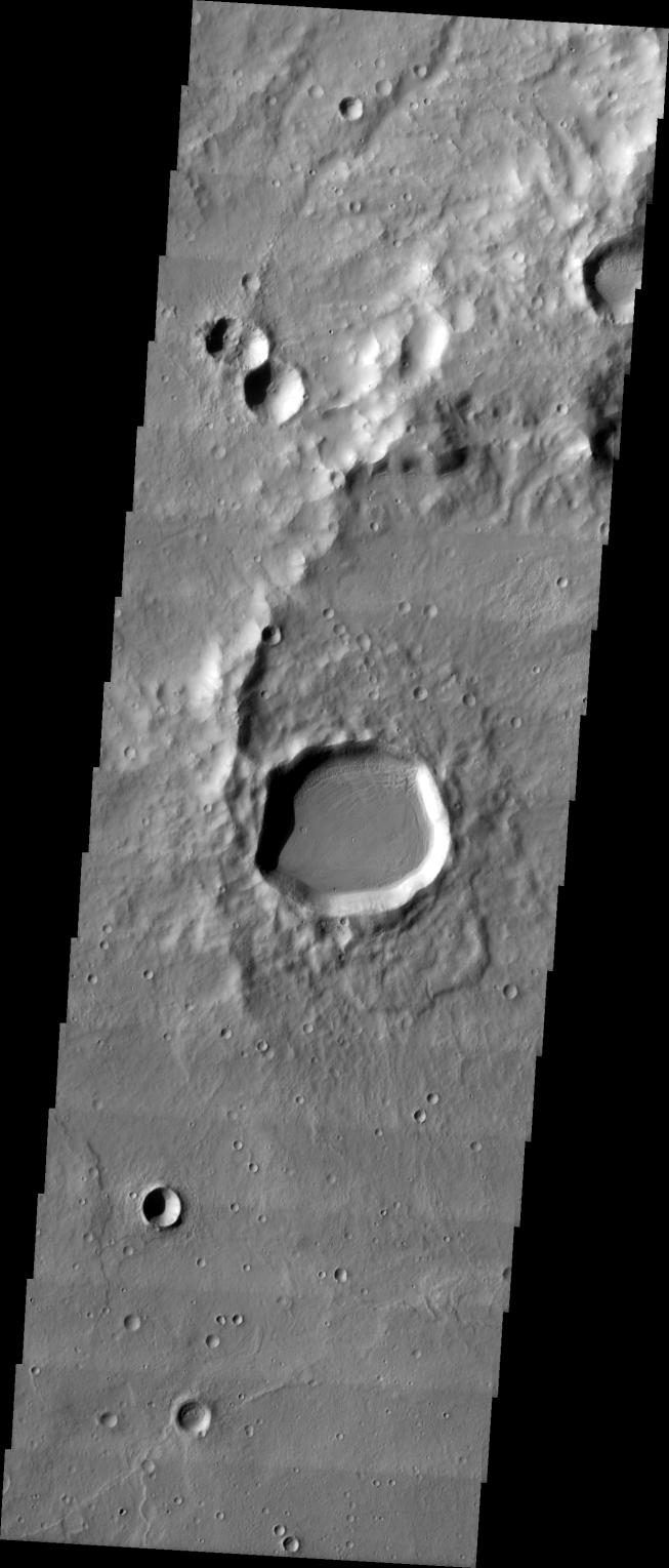
We are the 6th grade MSIP team from Mercury Mine. During our trip to ASU, we took a picture of an area with many craters of different sizes and types (preserved, modified, and destroyed) to help us answer our question: Is there a difference between a crater formed by an impact on Mars and a force from beneath the planet's surface forming a mountain or volcano; and if so, what? Our image was taken at the latitude of 35.73 S and the longitude of 236.2 E, 695.6 seconds after the THEMIS passed the equator (while descending). Downloading our image was perhaps the best part of our trip to ASU.
Image information: VIS instrument. Latitude -35.8, Longitude 236.2 East (123.8 West). 19 meter/pixel resolution.
NASA and Arizona State University's Mars Education Program is offering students nationwide the opportunity to be involved in authentic Mars research by participating in the Mars Student Imaging Project (MSIP). Teams of students in grades 5 through college sophomore level have the opportunity to work with scientists, mission planners and educators on the THEMIS team at ASU's Mars Space Flight Facility, to image a site on Mars using the THEMIS visible wavelength camera. For more information go to the MSIP website: http://msip.asu.edu.
Note: this THEMIS visual image has not been radiometrically nor geometrically calibrated for this preliminary release. An empirical correction has been performed to remove instrumental effects. A linear shift has been applied in the cross-track and down-track direction to approximate spacecraft and planetary motion. Fully calibrated and geometrically projected images will be released through the Planetary Data System in accordance with Project policies at a later time.
NASA's Jet Propulsion Laboratory manages the 2001 Mars Odyssey mission for NASA's Office of Space Science, Washington, D.C. The Thermal Emission Imaging System (THEMIS) was developed by Arizona State University, Tempe, in collaboration with Raytheon Santa Barbara Remote Sensing. The THEMIS investigation is led by Dr. Philip Christensen at Arizona State University. Lockheed Martin Astronautics, Denver, is the prime contractor for the Odyssey project, and developed and built the orbiter. Mission operations are conducted jointly from Lockheed Martin and from JPL, a division of the California Institute of Technology in Pasadena.