Released 23 April 2004
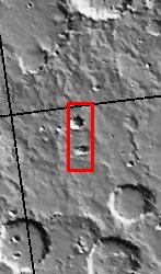
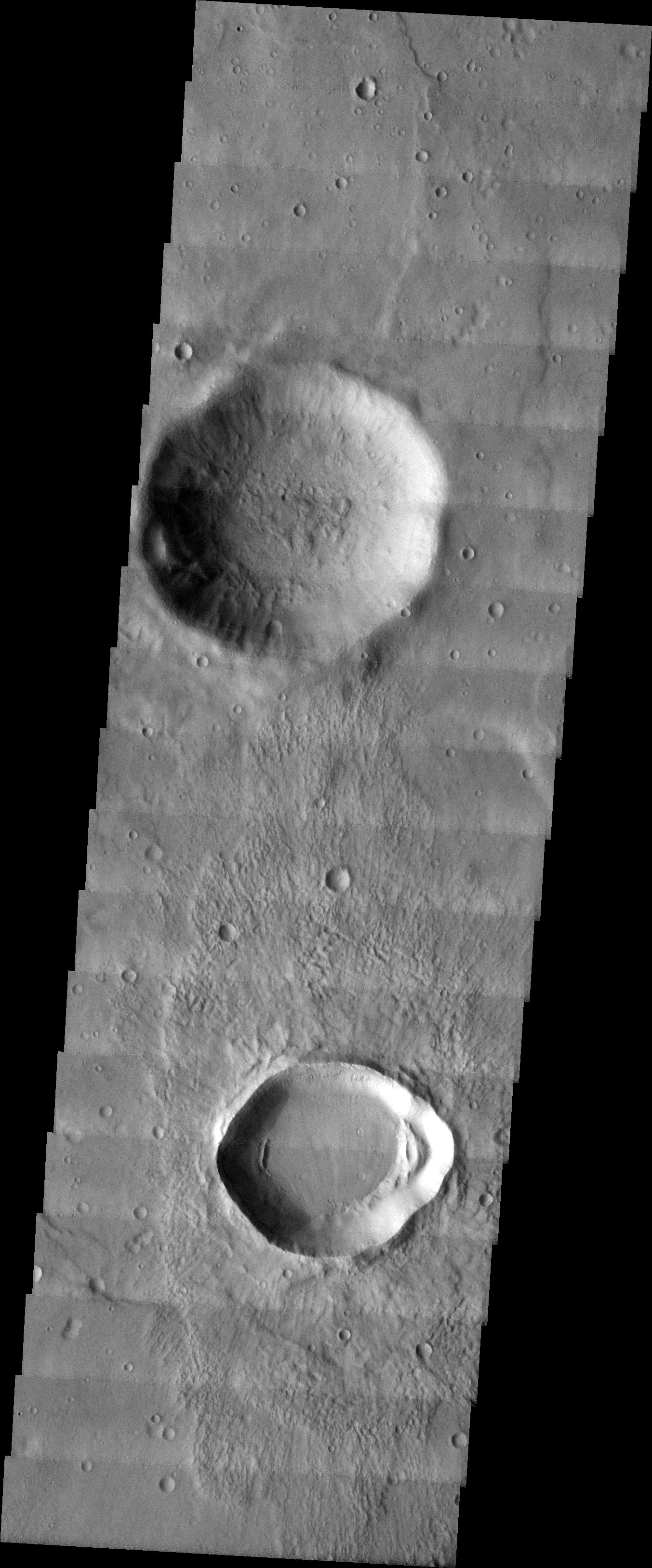
The image you see before you was taken in the Noachis Terra Region in the Southern hemisphere of Mars. The two most prominent features in this photo are the relatively large impact craters, one located towards the top of the image, and one located in the lower area. This image was chosen for this particular MSIP project because the area was in a rocky region that was in located within latitudes known to have gully formations in the walls of local craters. Therefore, the craters appeared to be likely candidates to try and determine if gully formation in crater walls are more likely to form on the pole or equator-facing wall of the crater.
Our team, from the Klein High School Astronomy Club, included four students--two sophomores, a junior, and a senior, plus our club astronomer/teacher, and our sponsor. As part of the astronomy club, the team is all volunteer, and is involved in other astronomical activities in the community. We are from Klein, Texas, which is a suburb of Houston, Texas.
Three returning team members are participating in our MSIP project again this year.
Image information: VIS instrument. Latitude -30.5, Longitude 356.1 East (3.9 West). 19 meter/pixel resolution.
NASA and Arizona State University's Mars Education Program is offering students nationwide the opportunity to be involved in authentic Mars research by participating in the Mars Student Imaging Project (MSIP). Teams of students in grades 5 through college sophomore level have the opportunity to work with scientists, mission planners and educators on the THEMIS team at ASU's Mars Space Flight Facility, to image a site on Mars using the THEMIS visible wavelength camera. For more information go to the MSIP website: http://msip.asu.edu.
Note: this THEMIS visual image has not been radiometrically nor geometrically calibrated for this preliminary release. An empirical correction has been performed to remove instrumental effects. A linear shift has been applied in the cross-track and down-track direction to approximate spacecraft and planetary motion. Fully calibrated and geometrically projected images will be released through the Planetary Data System in accordance with Project policies at a later time.
NASA's Jet Propulsion Laboratory manages the 2001 Mars Odyssey mission for NASA's Office of Space Science, Washington, D.C. The Thermal Emission Imaging System (THEMIS) was developed by Arizona State University, Tempe, in collaboration with Raytheon Santa Barbara Remote Sensing. The THEMIS investigation is led by Dr. Philip Christensen at Arizona State University. Lockheed Martin Astronautics, Denver, is the prime contractor for the Odyssey project, and developed and built the orbiter. Mission operations are conducted jointly from Lockheed Martin and from JPL, a division of the California Institute of Technology in Pasadena.
