- Original Caption Released with Image:
-
4 March 2004
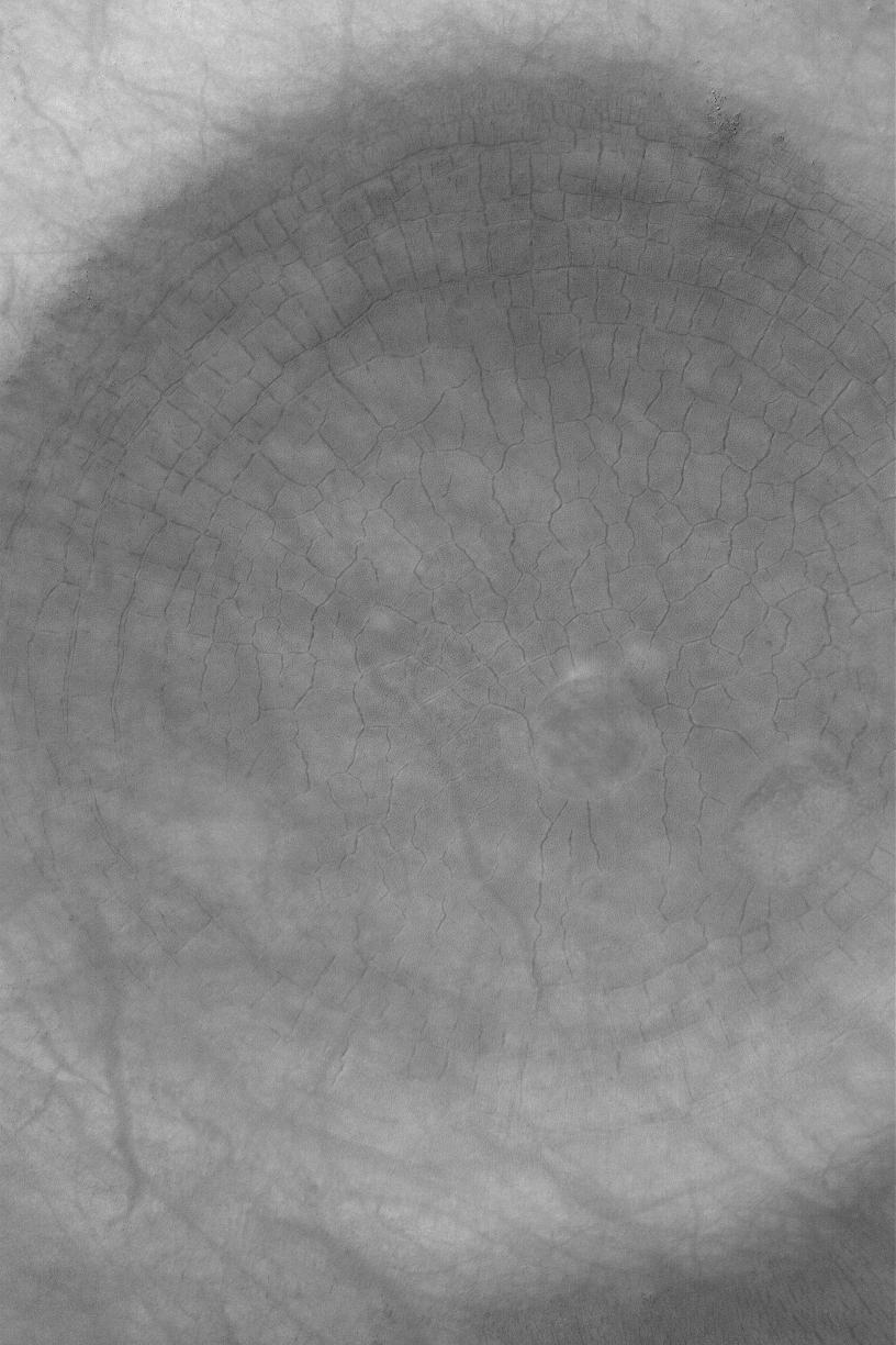
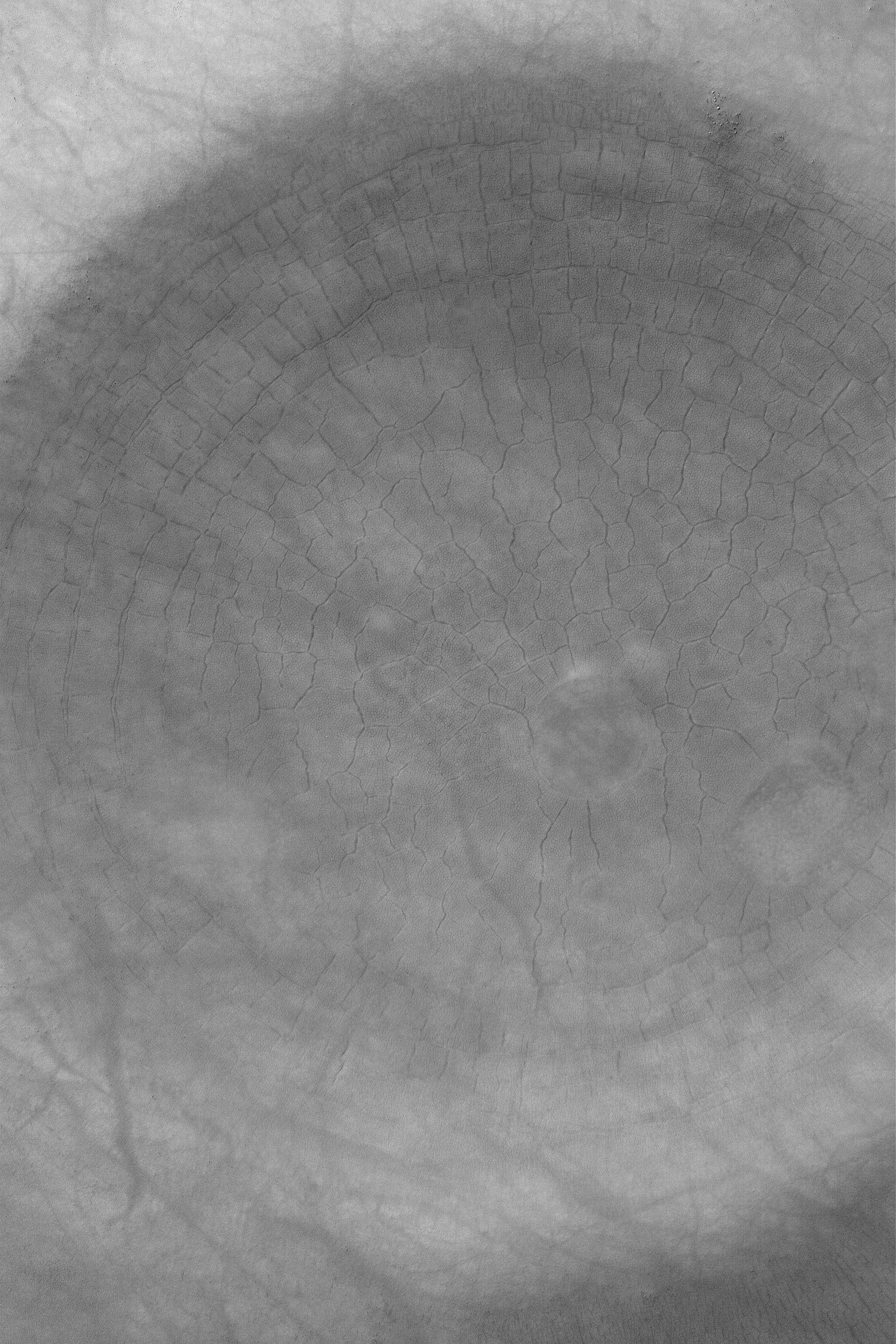
This Mars Global Surveyor (MGS) Mars Orbiter Camera (MOC) image shows a spectacular suite of large and small polygons in the south polar region. On Earth, polygons such as these would be indicators of the presence of ground ice. Whether this is true for Mars remains to be determined, but it is interesting to note that these polygons do occur in a region identified by the Mars Odyssey Gamma Ray Spectrometer (GRS) team as a place with possible ground ice. The polygons are in an old impact crater located near 62.9°S, 281.4°W. This 1.5 meter (5 ft.) per pixel view covers an area 3 km (1.9 mi) wide and is illuminated by sunlight from the upper left. To see the smaller set of polygons, the reader must view the full-resolution image (click on picture, above).
- Image Credit:
-
NASA/JPL/Malin Space Science Systems
Image Addition Date: -
2004-03-04
|