- Original Caption Released with Image:
-
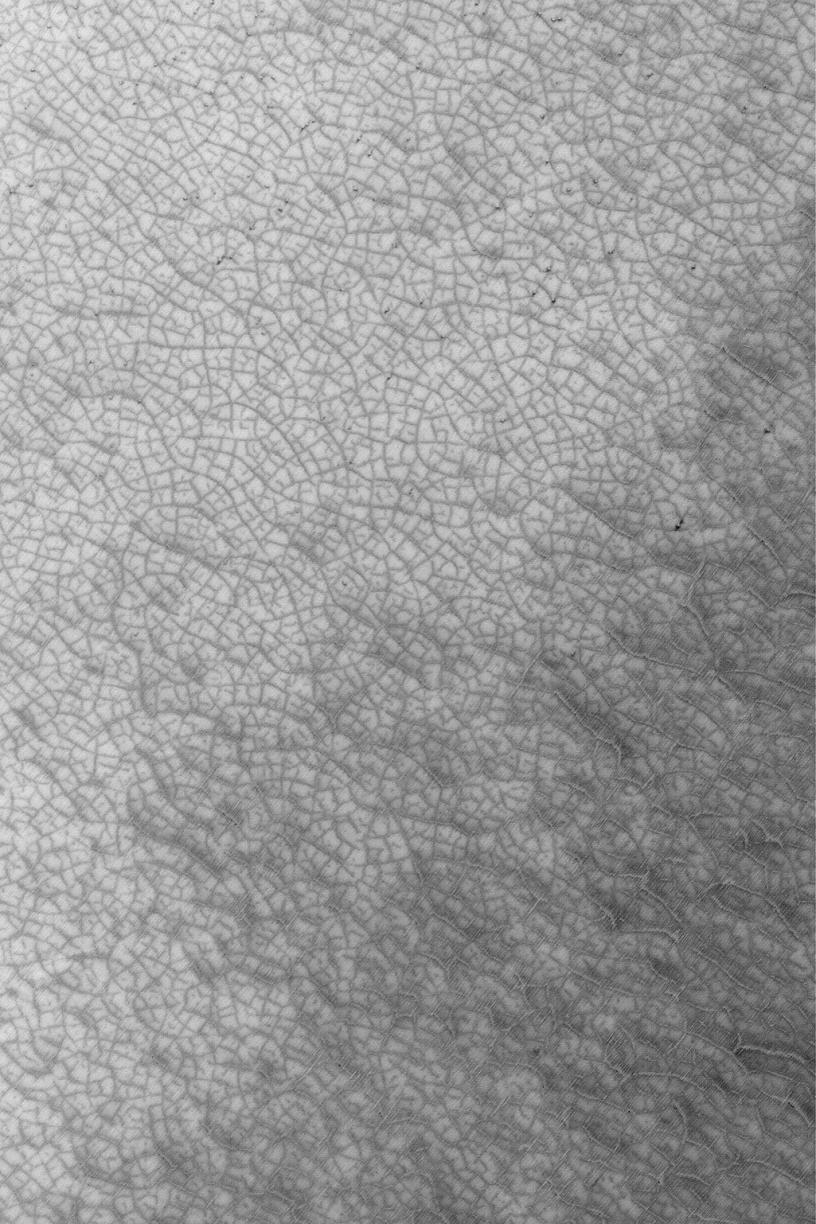
MGS MOC Release No. MOC2-473, 4 September 2003 Looking somewhat like the roadmap of a city on Earth, this August 2003 Mars Global Surveyor (MGS) Mars Orbiter Camera (MOC) image shows patterned ground--a mosaic of polygonal forms--highlighted by seasonal frost in the south polar region near 86.3°S, 310.2°W. Dark surfaces in this springtime view are areas from which cold, carbon dioxide frost has been subliming away. The picture covers an area 3 km (1.9 mi) across and is illuminated by sunlight from the upper left.
- Image Credit:
-
NASA/JPL/Malin Space Science Systems
Image Addition Date: -
2003-09-05
|