- Original Caption Released with Image:
-
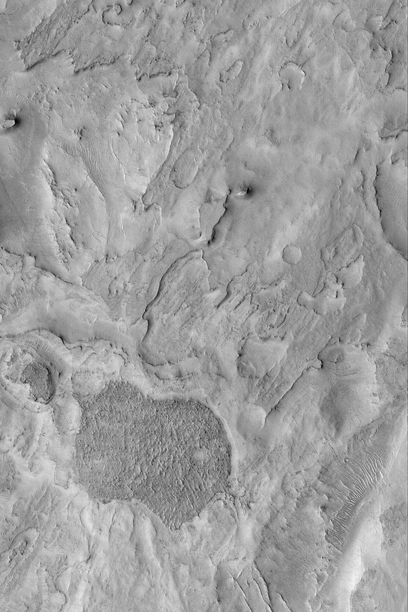
MGS MOC Release No. MOC2-466, 28 August 2003 Northeast Arabia Terra is a heavily cratered region that has undergone considerable erosion. The erosion has exposed filled, buried meteor impact craters; it has also eroded craters down so that all that remains is the former floor of a crater. This Mars Global Surveyor (MGS) Mars Orbiter Camera (MOC) image shows some of the eroded terrain in northeast Arabia Terra near Huo Hsing Vallis. The terrain is layered, and these layers have been eroded. The dark feature toward the lower left may be the remains of a crater floor--the entire crater and the rock into which it formed have all been stripped away. This image is located near 29.6°N, 292.8°W. The picture covers an area 3 km (1.9 mi) across and is illuminated from the lower left.
- Image Credit:
-
NASA/JPL/Malin Space Science Systems
Image Addition Date: -
2003-08-28
|
