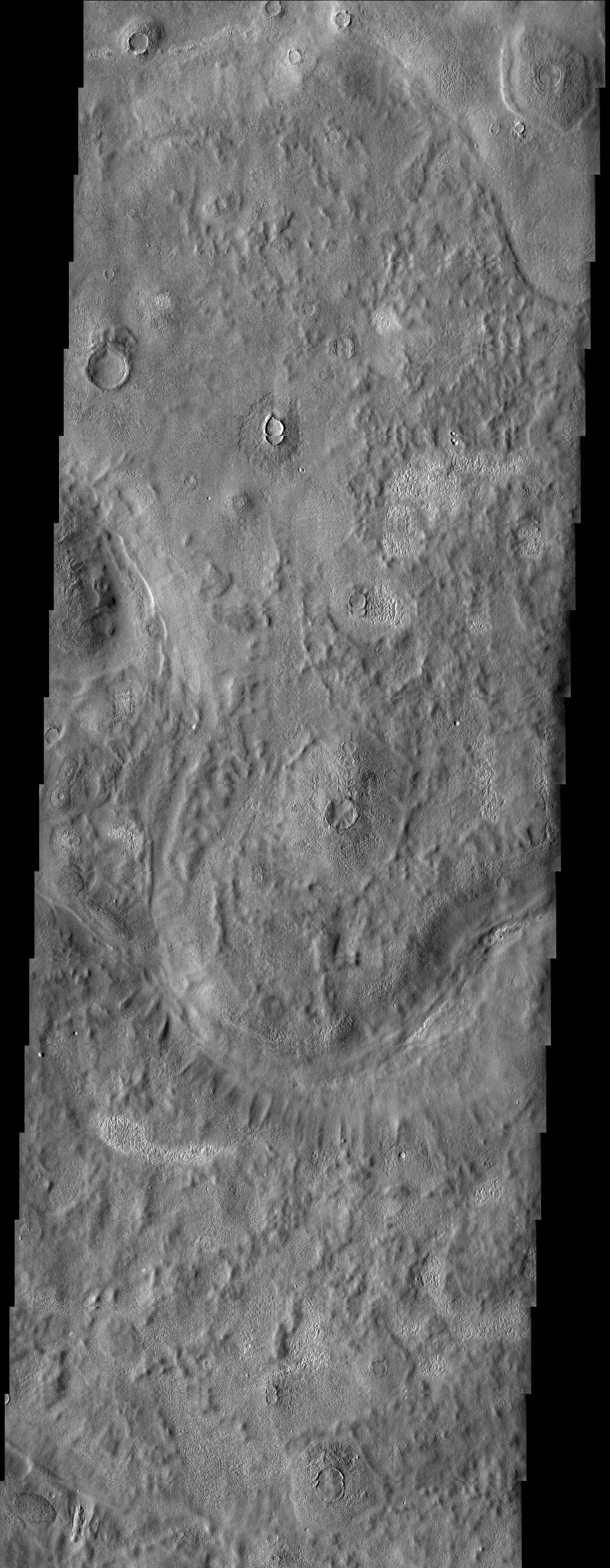
An unusual mix of textures is featured in this image of a surface east of the Phlegra Montes. Scabby mounds, commonly occurring around degraded craters, mix with a more muted, knobby terrain. Cutting through the scene are troughs associated with the quasi-polygonal features that are most evident in the MOLA context image. Given the mid-latitude location, it is likely that ground ice has had a role in shaping this landscape.
Note: this THEMIS visual image has not been radiometrically nor geometrically calibrated for this preliminary release. An empirical correction has been performed to remove instrumental effects. A linear shift has been applied in the cross-track and down-track direction to approximate spacecraft and planetary motion. Fully calibrated and geometrically projected images will be released through the Planetary Data System in accordance with Project policies at a later time.
NASA's Jet Propulsion Laboratory manages the 2001 Mars Odyssey mission for NASA's Office of Space Science, Washington, D.C. The Thermal Emission Imaging System (THEMIS) was developed by Arizona State University, Tempe, in collaboration with Raytheon Santa Barbara Remote Sensing. The THEMIS investigation is led by Dr. Philip Christensen at Arizona State University. Lockheed Martin Astronautics, Denver, is the prime contractor for the Odyssey project, and developed and built the orbiter. Mission operations are conducted jointly from Lockheed Martin and from JPL, a division of the California Institute of Technology in Pasadena.
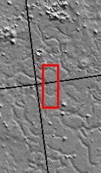
Image information: VIS instrument. Latitude 44.9, Longitude 175.9 East (184.1 West). 19 meter/pixel resolution.
