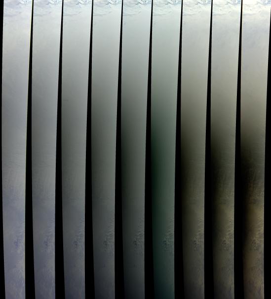
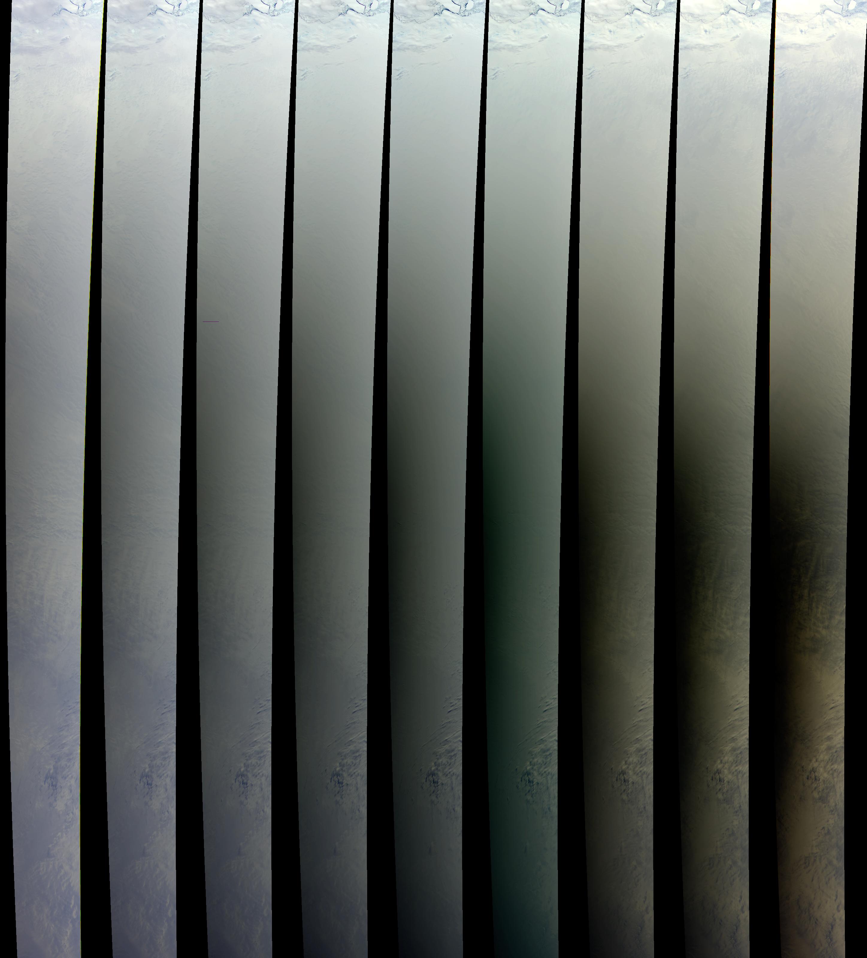
Within that narrow window during a solar eclipse where an observer on Earth can watch the Moon's shadow obscure more than 90% the Sun's disk, the Multiangle Imaging Spectro Radiometer (MISR) captured these views of the Antarctic surface during the total solar eclipse of November 23, 2003. The path of the Moon's umbral shadow began in the Indian Ocean in the far Southern Hemisphere, and passed over parts of the Queen Maud and Wilkes Lands in Eastern Antarctica.
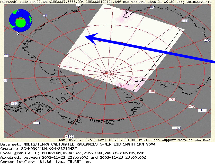
In this set of images, the darkness of the shadow is clearly increasing over the 7 minutes that it takes for all of MISR's nine cameras to view a scene. These nine images progress from the most forward-pointing camera (far left) through to the most backward-pointing camera (far right), cover the same geographic area, and have been processed identically. The area covered by the nine MISR swaths begins at the Antarctic coastline (about 66° S, 140° E) near the French station, Dumont d'Urville, and ends at about 77° S, 32° E in Queen Maud Land. The increasing darkness in the center part of the images relates to the approach to the time of maximum eclipse. This detailed map indicates the position and time of maximum eclipse, when the Sun's disk was completely blocked. The first MISR camera observed the area of the 23:00 UTC box at 22:57, and sunset occurred before MISR viewed the coast at Maitri station. The blue arrow on this context map indicates the position and direction of the MISR coverage in relation to the Terra MODIS view of the eclipse.
The Multiangle Imaging Spectro Radiometer observes the daylit Earth continuously and every 9 days views the entire globe between 82° north and 82° south latitude. These data products were generated from a portion of the imagery acquired during Terra orbit 20920. The panels cover an area of about 380 kilometers x 2909 kilometers, and utilize data from blocks 146 to 170 within World Reference System-2 path76.
MISR was built and is managed by NASA's Jet Propulsion Laboratory, Pasadena, CA, for NASA's Office of Earth Science, Washington, DC. The Terra satellite is managed by NASA's Goddard Space Flight Center, Greenbelt, MD. JPL is a division of the California Institute of Technology.