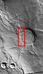
This image is located in Meroe Patera (longitude: 292W/68E, latitude: 7.01), which is a small region within Syrtis Major Planitia. Syrtis Major is a low-relief shield volcano whose lava flows make up a plateau more than 1000 km across. These flows are of Hesperian age (Martian activity of intermediate age) and are believed to have originated from a series of volcanic depressions, called calderas. The caldera complex lies on extensions of the ring faults associated with the Isidis impact basin toward the northeast - thus Syrtis Major volcanism may be associated with post-impact adjustments of the Martian crust.
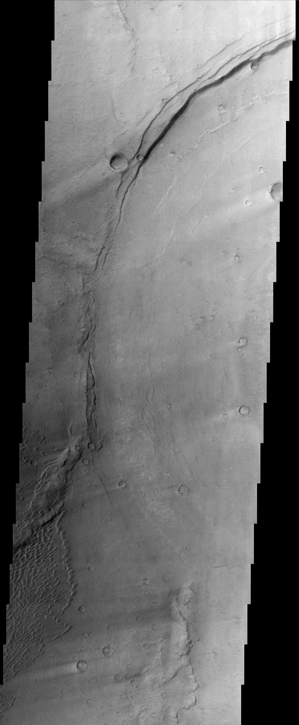
The most striking feature in this image is the light streaks across the image that lead to dunes in the lower left region. Wind streaks are albedo markings interpreted to be formed by aeolian action on surface materials. Most are elongate and allow an interpretation of effective wind directions. Many streaks are time variable and thus provide information on seasonal or long-term changes in surface wind directions and strengths. The wind streaks in this image are lighter than their surroundings and are the most common type of wind streak found on Mars. These streaks are formed downwind from crater rims (as in this example), mesas, knobs, and other positive topographic features.
The dune field in this image is a mixture of barchan dunes and transverse dunes. Dunes are among the most distinctive aeolian feature on Mars, and are similar in form to barchan and transverse dunes on Earth. This similarity is the best evidence to indicate that martian dunes are composed of sand-sized material, although the source and composition of the sand remain controversial. Both the observations of dunes and wind streaks indicate that this location has a windy environment - and these winds are persistent enough to product dunes, as sand-sized material accumulates in this region. These features also indicate that the winds in this region are originating from the right side of the image, and moving towards the left.
Note: this THEMIS visual image has not been radiometrically nor geometrically calibrated for this preliminary release. An empirical correction has been performed to remove instrumental effects. A linear shift has been applied in the cross-track and down-track direction to approximate spacecraft and planetary motion. Fully calibrated and geometrically projected images will be released through the Planetary Data System in accordance with Project policies at a later time.
NASA's Jet Propulsion Laboratory manages the 2001 Mars Odyssey mission for NASA's Office of Space Science, Washington, D.C. The Thermal Emission Imaging System (THEMIS) was developed by Arizona State University, Tempe, in collaboration with Raytheon Santa Barbara Remote Sensing. The THEMIS investigation is led by Dr. Philip Christensen at Arizona State University. Lockheed Martin Astronautics, Denver, is the prime contractor for the Odyssey project, and developed and built the orbiter. Mission operations are conducted jointly from Lockheed Martin and from JPL, a division of the California Institute of Technology in Pasadena.
