- Original Caption Released with Image:
-
(Released 24 July 2002)
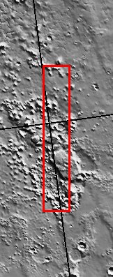
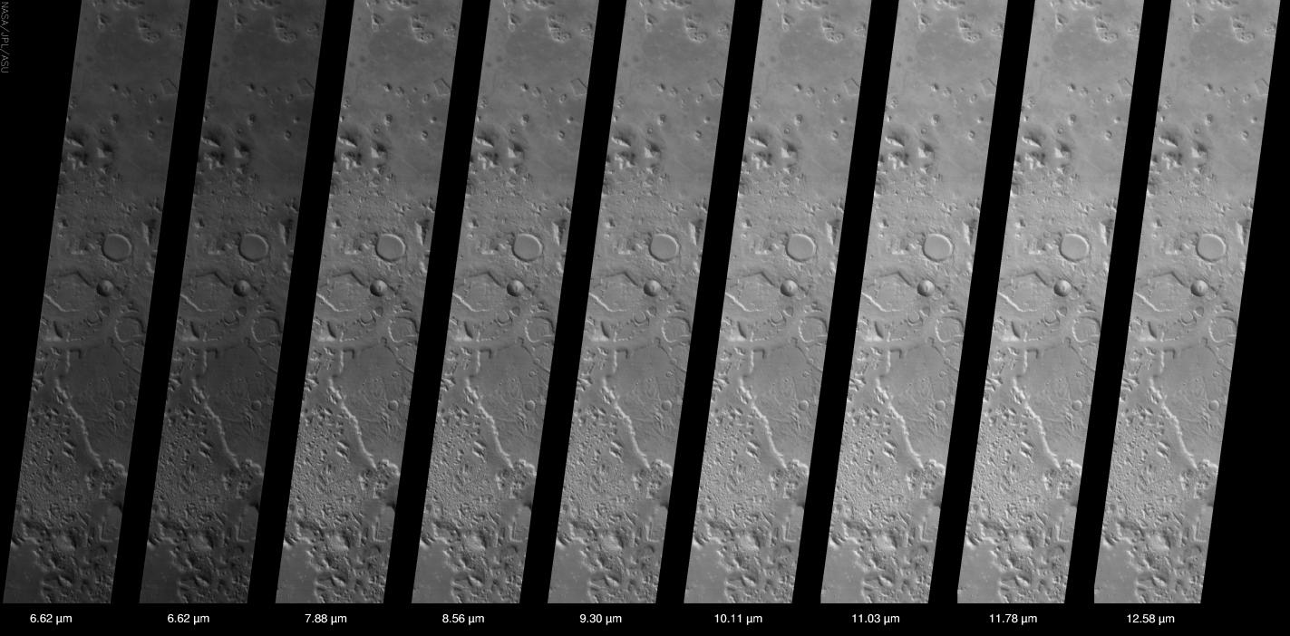
This set of THEMIS infrared images shows the so-called "face on Mars" landform located in the northern plains of Mars near 40° N, 10° W (350 ° E). The "face" is located near the center of the image approximately 1/6 of the way down from the top, and is one of a large number of knobs, mesas, hills, and buttes that are visible in this THEMIS image. The THEMIS infrared camera has ten different filters between 6.2 and 15 micrometers - nine view the surface and one views the CO2 atmosphere. The calibrated and geometrically projected data from all of the nine surface-viewing filters are shown in this figure. The major differences seen in this region are due to temperature effects -- sunlit slopes are warm (bright), whereas those in shadow are cold (dark), The temperature in this scene ranges from ~50 °C (darkest) to ~15 °C (brightest). The major differences between the different filters are due to the expected variation in the amount of energy emitted from the surface at different wavelengths. Minor spectral differences (infrared "color") also exist between the different filters, but these differences are small in this region due to the uniform composition of the rocks and soils exposed at the surface.The THEMIS infrared camera provides an excellent regional view of Mars - this image covers an area 32 kilometers (~20 miles) by approximately 200 kilometers (~125 miles) at a resolution of 100 meters per picture element ('pixel'). This image provides a broad perspective of the landscape and geology of the Cydonia region, showing numerous knobs and hills that have been eroded into a remarkable array of different shapes. In this "big picture" view the Cydonia region is seen to be covered with dozens of interesting knobs and mesas that are similar in many ways to the knob named the "face" - so many in fact that it requires care to discover the "face" among this jumble of knobs and hills. The 3-km long "face" knob was first imaged by the Viking spacecraft in the 1970's and was seen by some to resemble a face carved into the rocks of Mars. Since that time the Mars Orbiter Camera on the Mars Global Surveyor spacecraft has provided detailed views of this hill that clearly show that it is a normal geologic feature with slopes and ridges carved by eons of wind and downslope motion due to gravity. Many of the knobs in Cydonia, including the "face," have several flat ledges partway up the hill slopes. These ledges are made of more resistant layers of rock and are the last remnants of layers that once were continuous across this entire region. Erosion has completely removed these layers in most places, leaving behind only the small isolated hills and knobs seen today.
- Image Credit:
-
NASA/JPL/Arizona State University
Image Addition Date: -
2002-07-24
|
 Planetary Data System


