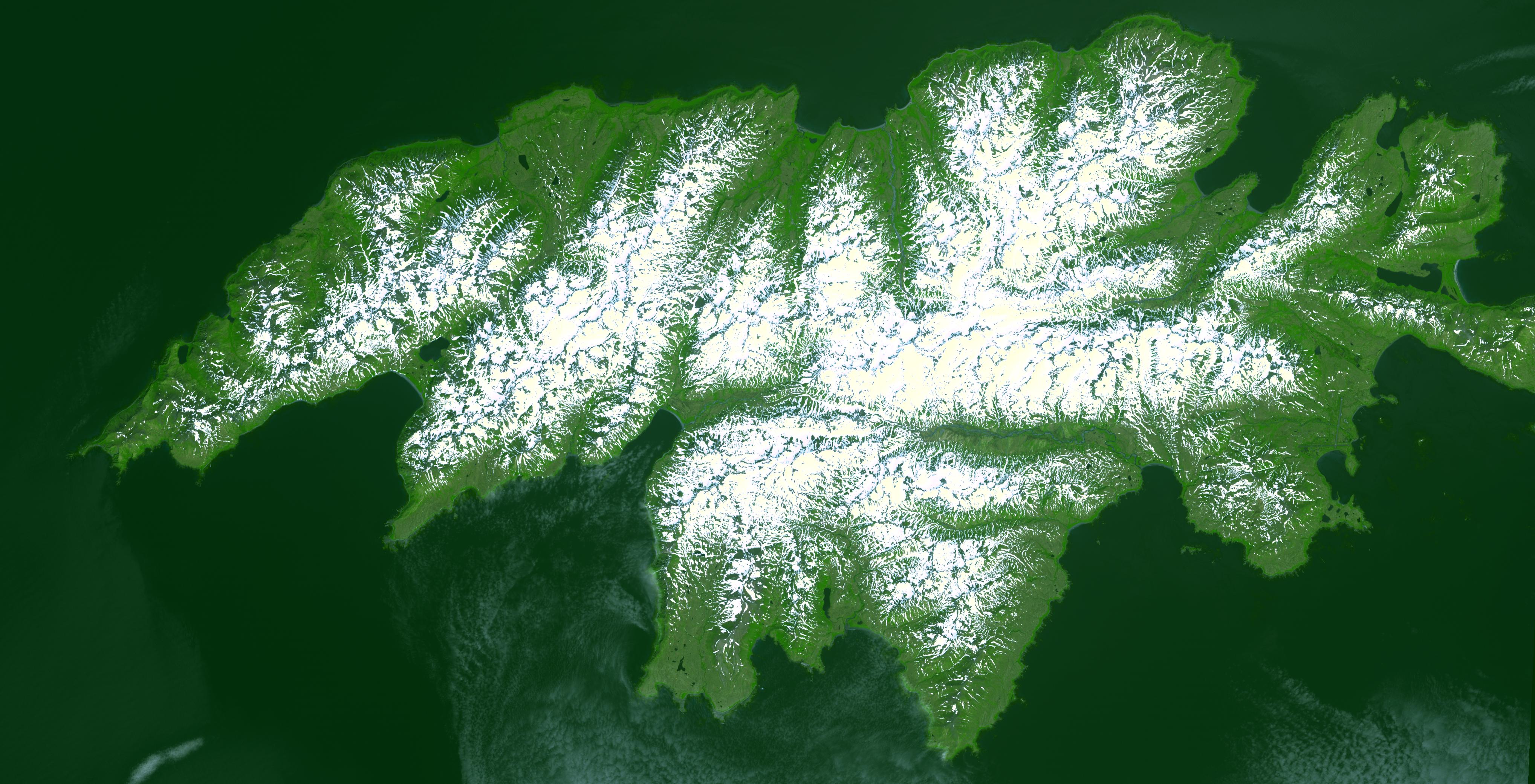
Attu, the westernmost Aleutian island, is nearly 1760 km from the Alaskan mainland and 1200 km northeast of the northernmost of the Japanese Kurile Islands. Attu is about 32 by 56 km in size, and is today the home of a small number of U. S. Coast Guard personnel operating a Loran station. The weather on Attu is typical of Aleutian weather in general...cloudy, rain, fog, and occasional high winds. The weather becomes progressively worse as you travel from the easternmost islands to the west. On Attu, five or six days a week are likely to be rainy, with hardly more than eight or ten clear days a year. The image was acquired July 4, 2000, covers an area of 31.2 by 61.1 km, and is centered near 52.8 degrees north latitude, 173 degrees east longitude.
With its 14 spectral bands from the visible to the thermal infrared wavelength region, and its high spatial resolution of 15 to 90 meters (about 50 to 300 feet), ASTER images Earth to map and monitor the changing surface of our planet.
ASTER is one of five Earth-observing instruments launched December 18, 1999, on NASA's Terra satellite. The instrument was built by Japan's Ministry of Economy, Trade and Industry. A joint U.S./Japan science team is responsible for validation and calibration of the instrument and the data products.
The broad spectral coverage and high spectral resolution of ASTER provides scientists in numerous disciplines with critical information for surface mapping, and monitoring of dynamic conditions and temporal change. Example applications are: monitoring glacial advances and retreats; monitoring potentially active volcanoes; identifying crop stress; determining cloud morphology and physical properties; wetlands evaluation; thermal pollution monitoring; coral reef degradation; surface temperature mapping of soils and geology; and measuring surface heat balance.
The U.S. science team is located at NASA's Jet Propulsion Laboratory, Pasadena, Calif. The Terra mission is part of NASA's Science Mission Directorate.
Size: 31.2 by 61.1 kilometers (19.3 by 37.9 miles)
Location: 52.8 degrees North latitude, 173 degrees East longitude
Orientation: North at top
Image Data: ASTER bands 3, 2, and 1
Original Data Resolution: 15 meters (49.2 feet)
Dates Acquired: July 4, 2000
