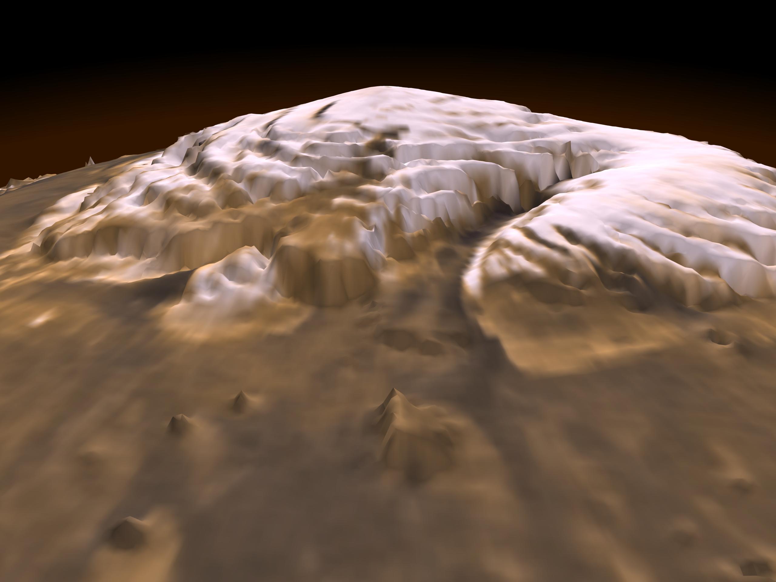
This first three-dimensional picture of Mars' north pole enables scientists to estimate the volume of its water ice cap with unprecedented precision, and to study its surface variations and the heights of clouds in the region for the first time.
Approximately 2.6 million of these laser pulse measurements were assembled into a topographic grid of the north pole with a spatial resolution of 0.6 miles (one kilometer) and a vertical accuracy of 15-90 feet (5-30 meters).
The principal investigator for MOLA is Dr. David E. Smith of Goddard. The MOLA instrument was designed and built by the Laser Remote Sensing Branch of Laboratory for Terrestrial Physics at Goddard. The Mars Global Surveyor Mission is managed by NASA's Jet Propulsion Laboratory, Pasadena, CA, for the NASA Office of Space Science.
